What is recorded here
Fairy forts are not fairy forts at all. They are ordinary ringforts, human made, from the late Iron Age or early medieval period. The fairy name came later, a warning or an excuse for leaving the strange circle alone. Ballygrenane kept that shape long enough to mark maps and resist forgetting, but the land has taken it back. What remains is a absent circle, visible only when someone remembers the difference between a field and a fortress.
Marked on the 1841-42 OS map as a complete circular enclosure, on the later edition map the enclosing bank has been incorporated into the fieldbank N through W to SW. This site also shows up quite clearly on the Geological Survey of Ireland's aerial photographs (1977). However, it has been levelled and no surface trace remains.
The above description is derived from C. Toal, ‘North Kerry Archaeological Survey’. Dingle. Brandon in association with FAS Training and Employment Authority (1995), no. 419. In certain instances the entries have been revised and updated in the light of recent research.
Date of upload: 2 August 2013
A fairy fort in Ballygrenane is an earthen ringfort, likely dating to the early medieval period, used as a defensive or agricultural settlement. It is associated with local folklore of faeries and supernatural activity, common to many such sites in Ireland.
The monument record does not grant public access. Check the route and ask the landowner before entering private land.
- What survives
- Recorded monument
Places near here
 Listowel Bridgebridge · 967 yd
 John B. KeaneMemorial · 1159 yd
 Holocaust MemorialMemorial · 1161 yd
 Fulacht fia in BallygowlogeFulacht fia · 1205 yd
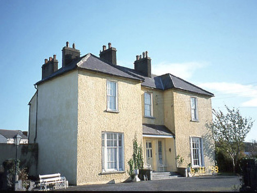 Gurtenard Househouse · 1481 yd
 ListowelFairy fort / earthen ringfort · 1527 yd
 Listowel Castle (in ruins)Castle, tower house · 1617 yd
 Kerry Writers' MuseumMuseum · 1626 yd
 Lartigue MonorailMuseum · 1.3 mi
 CastleCastle, tower house · 1.3 mi
 KnockanoreMountain / peak · 8.4 mi
 Kilflynn Nature ReserveNature reserve · 8.8 mi