What is recorded here
Indicated is an enclosure in Ballyglass Lower, County Roscommon, Ireland. It appears as a small circular wooded feature on the 1837 and 1928 Ordnance Survey maps, sitting on a gentle north-facing slope about 50 metres northwest of Fort George House. Gannon described a 16-metre circular area with an earthen bank, fosse and outer bank, noting possible entrance and causeway features at the north. Only fragments of these earthworks remain visible at the east side.
Marked as a small circular wooded feature (diam. c. 20m) on the 1837 and 1928 eds of the OS 6-inch map, and situated on a gentle N-facing slope, c. 50m NW of Fort George House. Described as a circular area (diam. 16m) defined by an earthen bank, a fosse and an outer bank with some evidence of an entrance and causeway at N (Gannon 1972). Only a fragment of the bank (Wth 3.3m; int. H 0.2m; ext. H 1.4m), fosse (Wth of top 6.2m; Wth of base 2.2m; D 1m) and outer bank (Wth 3.8m; ext. H 1.25m) survives at E. It may have been a tree-ring. Enclosure (RO035-053002-) is just to the SE and enclosure (RO035-052----) is c. 130m to the SW.
Compiled by: Michael Moore
Date of upload: 24 August 2010
The monument record does not grant public access. Check the route and ask the landowner before entering private land.
- What survives
- Recorded monument
Places near here
 Embanked enclosureEnclosure · 194 yd
 EnclosureEnclosure, large enclosure · 1010 yd
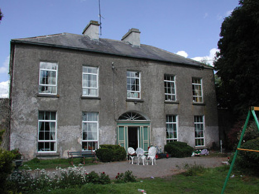 Ballymacurly Househouse · 1188 yd
 Church in Emlagh MoreChurch · 1.8 mi
 HawthornHawthorn · 2.3 mi
 European ashEuropean ash · 4.5 mi
 Roscommon CastleCastle · 5.0 mi
 Leitrim CastleCastle, unclassified · 5.5 mi
 CastleCastle, Anglo-Norman masonry castle · 6.0 mi
 Site of Killomaine Grave YardArchaeological place · 6.8 mi
 Sally IslandIslet · 7.8 mi
 Mount MaryMountain / peak · 8.8 mi