
What is recorded here
Indicated is a fairy fort or earthen ringfort in Ballyglass (leyny By.), County Sligo, Ireland. The circular area measures 28.8 metres north-south and sits on a north-facing ridge slope overlooking a stream that joins the River Moy. An earthen bank defines the west, southeast and south arcs, while a lane cuts through the northeast section. The 1838 Ordnance Survey map shows the complete embanked circle, but the 1914 map records the western arc as levelled.
On the N-facing slope of a ridge, overlooking a stream which joins the River Moy a short distance to W. The rath is partially levelled. Circular area (28.8m N-S) defined by an earthen bank (Wth 2.6m; int. H 0.7m; ext. H 0.7m) along the NW, SE and S arcs, with a scarp along the N arc. The rath is truncated along the NE arc by a NW-SE lane. The rath is indicated on the 1838 OS 6-inch map as an embanked circular area. On the 1914 OS 6-inch map the W arc is indicated as levelled.
The above description is derived from the published 'Archaeological Inventory of County Sligo' compiled by Ursula Egan, Elizabeth Byrne, Mary Sleeman with Sheila Ronan and Connie Murphy (Dublin Stationery Office, 2005).
Date of upload: 18 January 2008
The monument record does not grant public access. Check the route and ask the landowner before entering private land.
- What survives
- Recorded monument
Places near here
 FriaryReligious house, Franciscan Third Order Regular · 718 yd
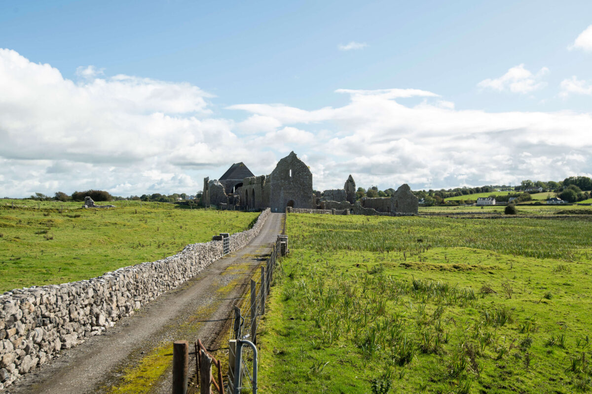 Abbey (Site of)Church · 771 yd
 Ecclesiastical enclosure in KilcumminEcclesiastical enclosure · 786 yd
 Carrowmore National Schoolschool · 2.0 mi
 KnocknasheeMountain / peak · 2.5 mi
 Muckelty HillMountain / peak · 2.8 mi
 The Turf Stack RockNamed rock · 3.3 mi
 CastleCastle, unclassified · 3.7 mi
 Tawnyart WoodWood · 3.8 mi
 New WoodWood · 4.1 mi
 Ballyara Castle (in Ruins)Castle, unclassified · 4.2 mi
 Mass RockNamed rock · 4.8 mi
Other information
Photo: Credit not shown in the picture search · Rights wording not checked; contact us if this picture should be removed