
What is recorded here
A linear scarp (H 1m; L 20m) extends roughly N-S immediately inside the wall in the NW corner of the graveyard. In the field to the N, this scarp (H 0.3-0.5m) continues for c. 22m in a NE-SW direction and then curves to the SE for c. 9m to join the N wall of the graveyard. A stony grass-covered bank (Wth c. 2.8m; L 8m) occurs on the top of the scarp. This is possibly the remains of the enclosing element of the monastery of Cummin (see SL031-005001-) which was founded 'perhaps by St. Caeman or by St. Coemgen' (Gwynn and Hadcock 1970, 390). An associated holy well (SL031-005005-), called 'Tober Cuimín', remains unlocated.
The above description is derived from the published 'Archaeological Inventory of County Sligo' compiled by Ursula Egan, Elizabeth Byrne, Mary Sleeman with Sheila Ronan and Connie Murphy (Dublin Stationery Office, 2005).
Date of upload: 18 January 2008
A local fairy fort (ringfort/rath); wider significance not recorded.
The monument record does not grant public access. Check the route and ask the landowner before entering private land.
- What survives
- Recorded monument
Places near here
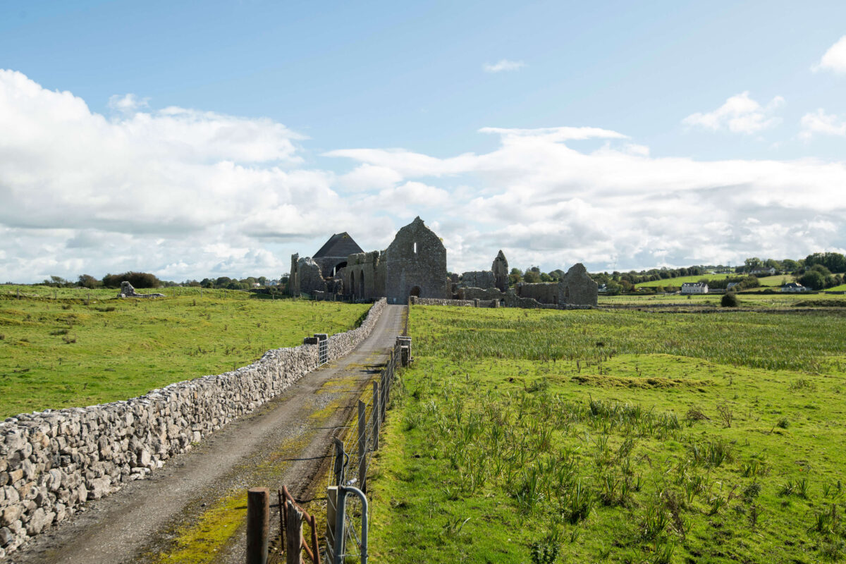 Abbey (Site of)Church · 17 yd
 FriaryReligious house, Franciscan Third Order Regular · 82 yd
 IndicatedFairy fort / stone ringfort · 698 yd
 Carrowmore National Schoolschool · 2.4 mi
 KnocknasheeMountain / peak · 2.9 mi
 The Turf Stack RockNamed rock · 2.9 mi
 Muckelty HillMountain / peak · 3.2 mi
 Tawnyart WoodWood · 3.4 mi
 New WoodWood · 3.7 mi
 CastleCastle, unclassified · 4.1 mi
 Ballyara Castle (in Ruins)Castle, unclassified · 4.3 mi
 Mass RockNamed rock · 4.4 mi
Other information
Photo: Credit not shown in the picture search · Rights wording not checked; contact us if this picture should be removed