What is recorded here
Located on a level landscape in the vicinity of the house (WX048-017----). A substantial house with three cabins nearby and a windmill are depicted on the Down Survey (1656-8) parish map of Kilrane, where Ballygerry incorporates Haysland townland. The precise location of this cabin is not known.
See the attached view from the Down Survey parish map (N at right) reproduced courtesy of the National Library of Ireland (Ms 725).
Compiled by: Michael Moore
Date of upload: 3 January, 2014
The monument record does not grant public access. Check the route and ask the landowner before entering private land.
- What survives
- Recorded monument
Places near here
 Wind Mill StumpWindmill · 225 yd
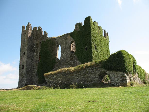 Site of CastleHouse, 17th century · 239 yd
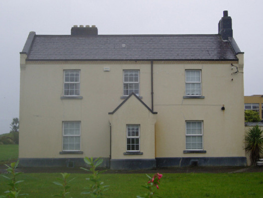 Tuskar Dwellingslighthouse keeper's house · 814 yd
 Rosslare Harbour Maritime Heritage CentreMuseum · 885 yd
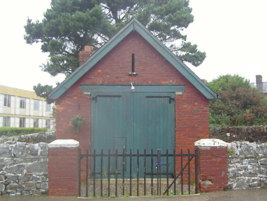 lifeboat stationlifeboat station · 893 yd
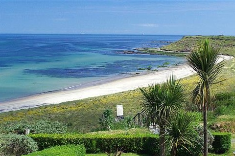 Moran's Bay PostVisitor information · 1479 yd
 CastleCastle, tower house · 1.1 mi
 Birdlife of RosslareVisitor information · 2.1 mi
 The Fairy Stone/RockNamed rock · 2.2 mi
 Marconi HouseMemorial · 2.5 mi
 Shernock Hill/Knocks HillMountain / peak · 2.9 mi
 Rosslare Strand BeachBeach / strand · 3.0 mi