What is recorded here
Listed in the SMR (1989) as ‘cist –possible’, this record refers to a slab-lined structure which was uncovered in 1950 on the edge of a stream at a depth of c. 3 feet [0.9m] below the surface during county council drain-cleaning works in Ballyeeseen Td., near Dromore West (NMI Correspondence Files). It was thought to be a grave and was examined by a member of An Garda Síochána who sent a report to NMI. It was describes as being 'about 6ft square' [c. 1.8m], with two opposing sides each constructed of a single large slab (H c. 0.45m), and the other two sides constructed of smaller slabs, with ‘two stone posts about 6 inches [0.15m] square one on either end.’ The floor was paved with stone slabs. It was filled with clay and small stones but no bones were found. Given the absence of bones, and its location beside a stream, the possibility exists that the structure was not a cist grave but the stone-lined trough of a fulacht fia. The exact location of the find was not recorded.
Compiled by: Jane O'Shaughnessy
Date of upload: 29 November 2016
A cist, likely dating to the Early Christian or Bronze Age period, and representing a small burial or memorial structure typical of the region. Its significance lies in its potential to contribute to understanding local burial practices and settlement patterns in prehistoric or early historic Ireland.
The monument record does not grant public access. Check the route and ask the landowner before entering private land.
- What survives
- Recorded monument
Places near here
 Man-made underground passage in BallyeeskeenMan-made underground passage · 237 yd
 Fulacht fia in BallyeeskeenFulacht fia · 341 yd
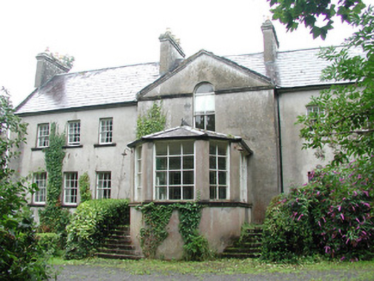 Doonycoycountry house · 925 yd
 Lady Margaret's TowerRuins · 968 yd
 CastleCastle, tower house · 1.0 mi
 Site of Dunneill CastleCastle, unclassified · 1.4 mi
 DonaghHeadland · 1.6 mi
 Aughris HeadHeadland · 3.4 mi
 Aughris BeachBeach / strand · 3.8 mi
 Dunmoran StrandBeach / strand · 4.5 mi
 Knockalongy South-West TopMountain / peak · 4.7 mi
 KnockalongyMountain / peak · 4.8 mi