What is recorded here
Ballyeaston Historic Settlement occupies the post-medieval landscape of County Antrim, preserving the shape of human life long after its makers disappeared. The stones and soil likely held kitchens, arguments, births and deaths, though no named person remains visible in the answer. A settlement keeps its age in the patience of its boundaries, waiting for someone to walk the same ground and imagine the hands that shaped it.
The official Northern Ireland record identifies this as Ballyeaston Historic Settlement. Recorded period: POST-MED. The official map point was placed at the centre of the recorded archaeological site from the source map reference.
The monument record does not grant public access. Check the route and ask the landowner before entering private land.
- What survives
- Recorded monument
Places near here
 A.P. SITEA.P. SITE, enclosure? · 385 yd
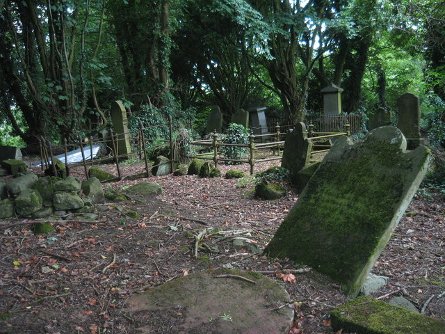 MULTIPERIOD CHURCH & GRAVEYARD with WELL: RATH SITHE, RASHEE, or RASSCI in RasheeMULTIPERIOD CHURCH & GRAVEYARD with WELL: RATH SITHE, RASHEE, or RASSCI · 1755 yd
 FORTIFIED HOUSE: CASTLE HILL in DunamoyFORTIFIED HOUSE: CASTLE HILL · 1.1 mi
.jpg?width=1280) Ballyclare Town HallTown Hall · 1.4 mi
Ballyclare Town HallTown Hall · 1.4 mi_-_geograph.org.uk_-_5247773.jpg?width=1280) Ulster BankBank · 1.4 mi
Ulster BankBank · 1.4 mi Ballyboley ForestForest · 3.1 mi
 Big CollinMountain / peak · 4.0 mi
 North Carn ForestForest · 5.0 mi
 Sentry Hill Historic HouseMuseum · 6.0 mi
 C17th CASTLE on MONASTIC SITE : ORDER of ST. JOHN OF JERUSALEM, UPTON CASTLE, UPTON MAUSOLEUM, HUGH DE LOGAN'S TOWN in TemplepatrickC17th CASTLE on MONASTIC SITE : ORDER of ST. JOHN OF JERUSALEM, UPTON CASTLE, UPTON MAUSOLEUM, HUGH DE LOGAN'S TOWN · 6.0 mi
 O'Haughan's CaveCave · 6.3 mi
 Carnmoney HillMountain / peak · 6.9 mi