What is recorded here
Knocknadober still casts its shadow across Ballydarrig, but the stone Skinner named has vanished into scree and memory. What remains is a slope of loose rock where sight fails and imagination fills the gap. Perhaps a marker once stood there, guiding someone through darkness or claiming a boundary now forgotten. The mountain keeps the shape of the story even when the stone itself has fallen away.
Among other sites, Skinner records ‘Gallauns’ at this location, on the lower SW slopes of Knocknadober (ITA). The area is characterised by rock outcrops and scree. Field investigation failed to reveal any such monument.
The above description is derived from A. O'Sullivan and J. Sheehan (compilers), 'The Iveragh peninsula: an archaeological survey of South Kerry'. Cork University Press (1996), no. 224. In certain instances the entries have been revised and updated in the light of recent research.
Date of upload: 28 July 2013
The monument record does not grant public access. Check the route and ask the landowner before entering private land.
- What survives
- Recorded monument
Places near here
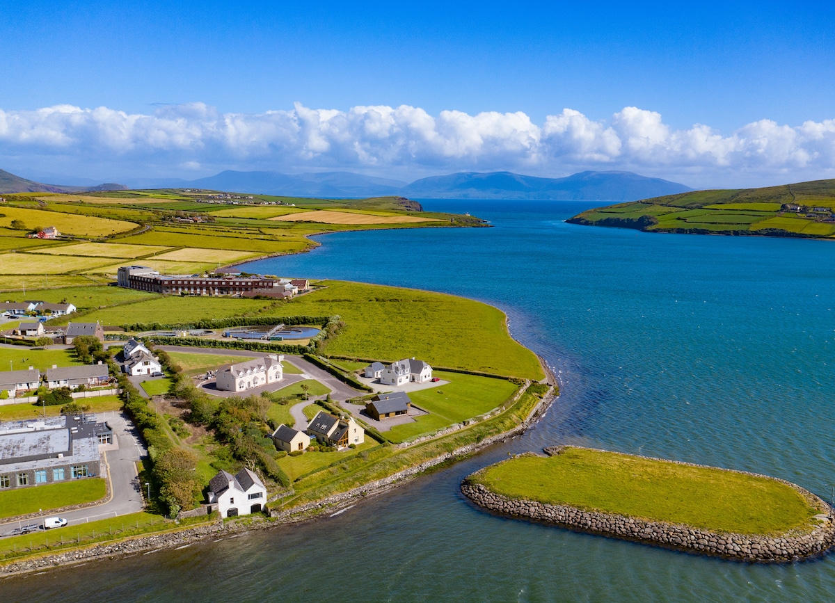 Hut site in BallydarrigHut site · 215 yd
 Holy WellHoly well · 1197 yd
 KnocknadobarMountain / peak · 1.4 mi
 Carhan Househouse · 1.7 mi
 O'Connell Monumentmonument · 1.7 mi
 Knocknadobar North TopMountain / peak · 1.8 mi
 Short Castle (Site of)Castle, unclassified · 3.0 mi
 Foughil IslandIslet · 3.3 mi
 Laharn Bog LoopWalking route · 3.3 mi
 Ballycarbery CastleRuins · 3.4 mi
 OutlinedBawn · 3.4 mi
 White Strand BeachBeach / strand · 4.2 mi