
What is recorded here
Crannog in Ballycurragh is a rectangular clay platform, 34 metres long and 15.6 metres wide, lying flat within the Fuarawn floodplain in County Offaly. It has no entrance, boundary bank or visible cut, yet its level summit suggests people shaped the bog rather than the bog erasing them. A 1979 account called it an oval clay platform, which may mean the crannog lost its edges before losing its purpose. Whatever it was, it still occupies the same drowned margin where water and soil negotiate the shape of memory.
Situated within the floodplain of the Fuarawn river which lies to the W of site. Rectangular-shaped platform earthwork (ext. dims E-W 15.60m x 34m N-S) with no evidence of an enclosing bank or fosse and no entrance feature. The summit of the mound (dims. 24m x 8m) is quite level. It is not clear if this earthwork may have been the site of a crannog described in 1979 as, 'in the townland of Ballycurragh; all that remains now is an oval platform of clay in the bog' (Feehan 1979, 94).
The above description is derived from the published 'Archaeological Inventory of County Offaly' (Dublin: Stationery Office, 1997). In certain instances the entries have been revised and updated in the light of recent research.
Date of upload/revision: 30 December 2011
The monument record does not grant public access. Check the route and ask the landowner before entering private land.
- What survives
- Recorded monument
Places near here
 IndicatedGraveyard · 213 yd
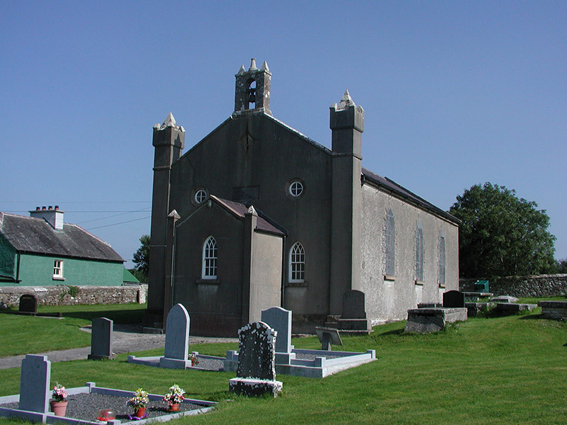 Aghancon Churchchurch/chapel · 222 yd
 Partially outlinedHillfort · 277 yd
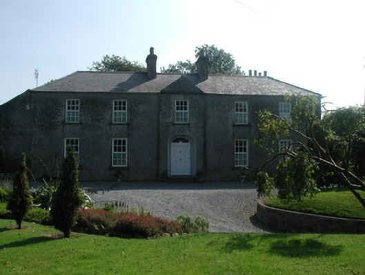 The Rectoryrectory/glebe/vicarage/curate's house · 291 yd
 Leap CastleCastle · 1386 yd
 CastleCastle, tower house · 1440 yd
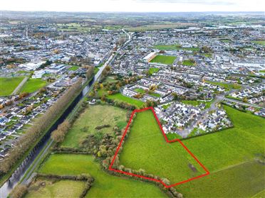 Ballywilliam WoodWood · 1651 yd
 Grange WoodWood · 1.1 mi
 Glenacurragh CastleCastle, tower house · 1.5 mi
 Drummin HillMountain / peak · 2.4 mi
 River WalkWalking route · 6.3 mi
 Birr Heritage CentreMuseum · 6.5 mi
Other information
Photo: Credit not shown in the picture search · Rights wording not checked; contact us if this picture should be removed