What is recorded here
Cairn in County Carlow, Ireland: a long low ridge about 2.4m, with a tall thin granite stone leaning 45° at its east end. It belongs to a large group of cairns, the kind of place where people once marked memory, boundary or loss before words were wanted. The leaning stone still points like a finger into the dark, inviting you to ask what it remembered.
A long low cairn (L c. 2.4m; Wth c. 0.9m) with its long axis orientated E-W. A tall thin granite stone (H. 0.95m; Wth 0.5m) leaning at a 45° angle is positioned at the E end. Recorded by Ó Murchú (2011, 71) as part of a Master's thesis (Survey number: C14). One of a large group of cairns (see CW026-019----).
Compiled by: Claire Breen
Date of upload: 30 October 2013
A Neolithic cairn, likely a simple funerary or ritual monument, dating to the earlier part of the Neolithic period in Ireland (c. 4000–2500 BCE). Its orientation and the presence of a prominent leaning stone suggest possible ceremonial or symbolic significance, though its wider regional context remains unclear.
The monument record does not grant public access. Check the route and ask the landowner before entering private land.
- What survives
- Recorded monument
Places near here
 Enclosure in DranaghEnclosure · 281 yd
 Enclosure in BallycrinniganEnclosure · 745 yd
 CarrigvahanaghMountain / peak · 1495 yd
 White MountainMountain / peak · 1.4 mi
 Saint Moling's Catholic Churchchurch/chapel · 1.7 mi
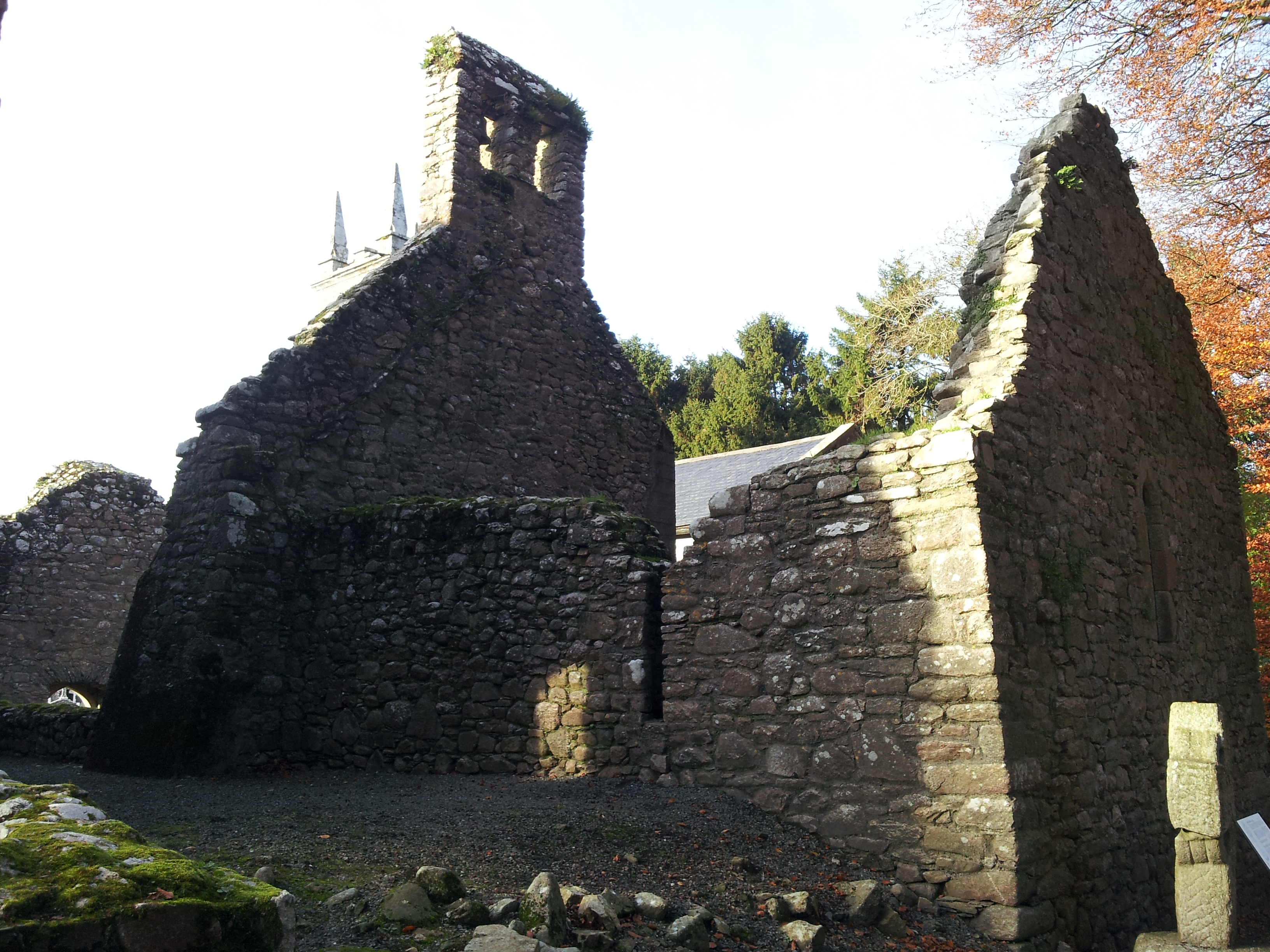 St. Mullins Oratory (in Ruins)Church · 1.9 mi
 Pollmounty Castle (in Ruins)Castle, tower house · 2.2 mi
 1798 RebellionMemorial · 2.2 mi
 Silver WattleSilver Wattle · 2.3 mi
 Graveyard in St. Mullin'sGraveyard · 2.5 mi
 St. Mullins MoatCastle, motte and bailey · 2.6 mi
 Bahana WoodForest · 2.9 mi