What is recorded here
The fairy fort or earthen ringfort in Ballycrenode (Kilkeary parish) is in County Tipperary, Ireland. It stands on a slight north-south ridge in undulating pastureland. The site is levelled but remains visible as an irregular platform about 31 metres across from north to south, with ground sloping away to the east and west.
Located on slight N-S ridge in undulating pastureland. Depicted as a circular enclosure on both the 1st and latest ed. OS 6-inch maps and on an aerial photograph taken in 1970 (CUCAP, BDL 59). The site is levelled but is still visible as an irregular-shaped platform (diam. c. 31m N-S). The ground slopes off to E and W.
The above description is derived from 'The Archaeological Inventory of County Tipperary. Vol. 1 - North Tipperary' compiled by Jean Farrelly and Caimin O'Brien (Dublin: Stationery Office, 2002). In certain instances the entries have been revised and updated in the light of recent research.
Date of upload/revision: 22 September 2008
The monument record does not grant public access. Check the route and ask the landowner before entering private land.
- What survives
- Recorded monument
Places near here
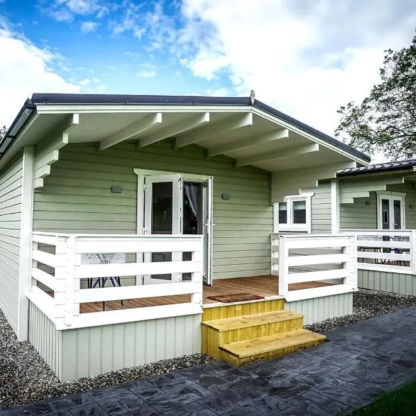 Ballinamona HouseHouse, indeterminate date · 991 yd
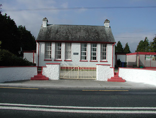 Kilkeary National Schoolschool · 1040 yd
 Millbrook Ho.Castle, unclassified · 1377 yd
 Enclosure in MillbrookEnclosure · 1401 yd
 LisheennaspiddogeFairy fort / ringfort · 1.3 mi
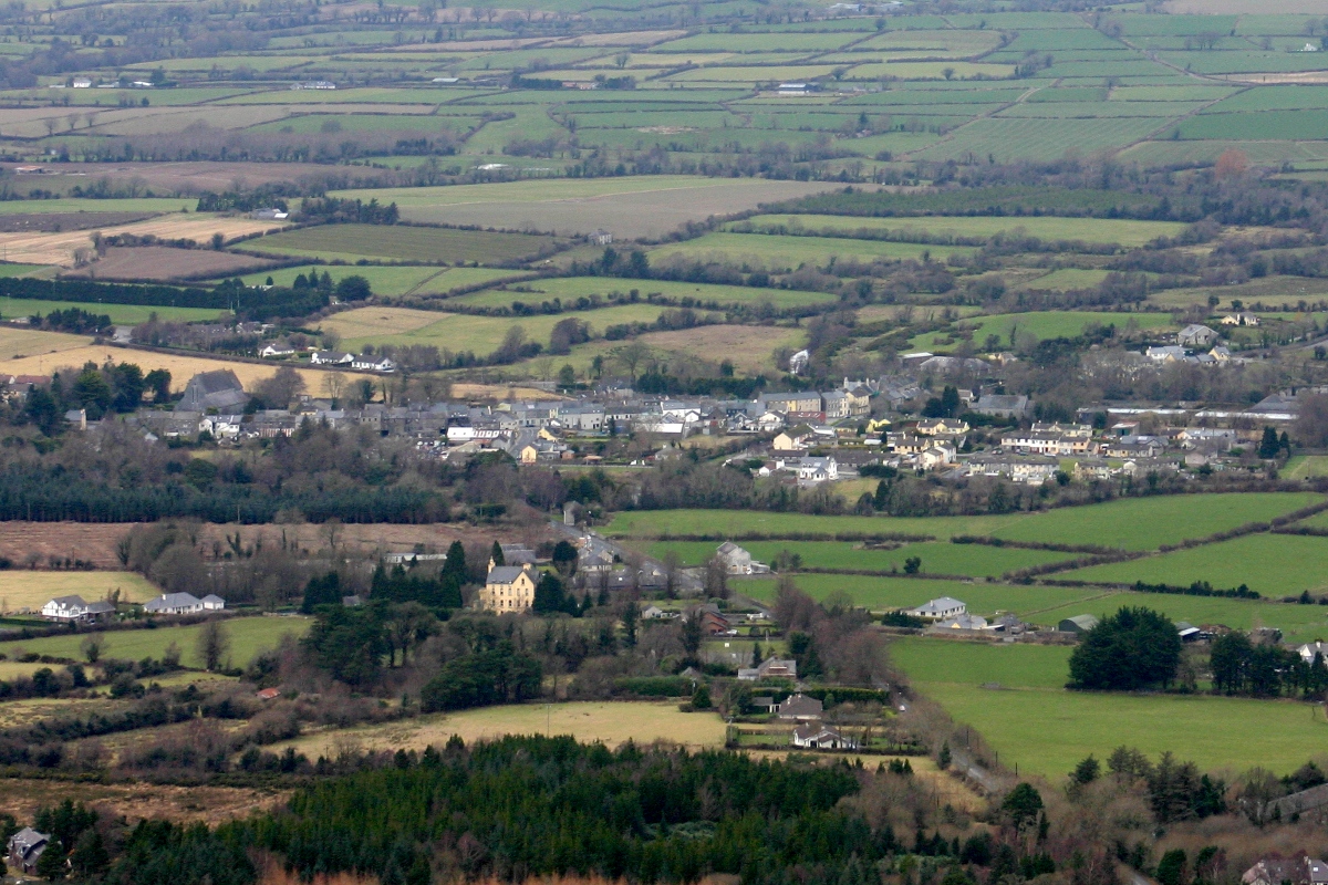 CastleCastle, unclassified · 1.5 mi
 Knockacraheen HillMountain / peak · 1.8 mi
 Gibbet HillMountain / peak · 2.1 mi
 Killavalla WoodForest · 2.5 mi
 Old BarracksHeritage attraction · 4.5 mi
 Sweet ChestnutSweet Chestnut · 4.6 mi
 Nenagh Heritage CentreMuseum · 4.6 mi