What is recorded here
Fairy fort / earthen ringfort in Ballycormuck is a fairy fort or earthen ringfort in Ballycormuck, County Tipperary, Ireland. The circular area is 30m east to west, enclosed by an earth and stone bank 1m wide, with an external fosse 2.5m wide and 1m deep. The bank stands 0.3m high inside and 1.5m high outside, is reduced to a scarp at the north, and shows stone facing on its external face at the south.
Situated on a NE-facing slope of rising ground in undulating countryside. A circular area (diam. 30m E-W) enclosed by an earth and stone bank (Wth 1m; int. H 0.3m; ext. H 1.5m) and an external fosse (Wth 2.5m; D 1m) with no evidence of an entrance feature. The enclosing bank is reduced to a scarp and is poorly preserved at N. There is evidence of stone-facing along the external face of the bank at S. The fosse is destroyed at SW where a field boundary intersects the site.
The above description is derived from 'The Archaeological Inventory of County Tipperary. Vol. 1 - North Tipperary' compiled by Jean Farrelly and Caimin O'Brien (Dublin: Stationery Office, 2002). In certain instances the entries have been revised and updated in the light of recent research.
Date of upload/revision: 22 September 2008
The monument record does not grant public access. Check the route and ask the landowner before entering private land.
- What survives
- Recorded monument
Places near here
 Enclosure in BallycormuckEnclosure · 653 yd
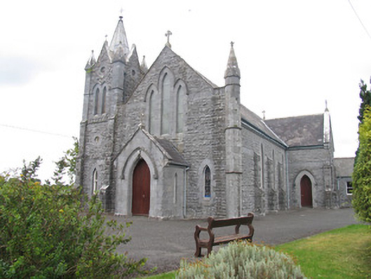 Catholic Church of Saint Michael the Archangelchurch/chapel · 724 yd
 Enclosure in Feigh East,lisheen (aglishcloghane Par.)Enclosure · 754 yd
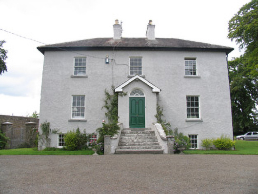 rectory/glebe/vicarage/curate's houserectory/glebe/vicarage/curate's house · 1255 yd
 Ballyhaugh Castle (in ruins)Castle, tower house · 1552 yd
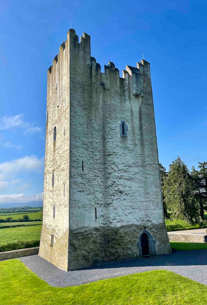 Kilfadda Castle (in ruins)Castle, Anglo-Norman masonry castle · 2.1 mi
 Borris WoodWood · 3.5 mi
 Lumcloon WoodWood · 4.0 mi
 Slevoir BayBay · 4.8 mi
 Hayes IslandIsland · 5.9 mi
 Sallow IslandIsland · 6.2 mi
 MacDonagh HouseMemorial · 7.0 mi