What is recorded here
Located on a level landscape with a small N-S stream c. 130m to the W. The house was built in 1570 by Dionisius Stafford and his second wife Katherine Synnott of Ballygerry (WX048-017----), according to the Latin inscription of a memorial stone now lost. His first wife was Joan Browne of Mulrankin (WX047-031----) (Hore 1925, 15-6; Browne 1937). The house was largely pulled down c. 1860 (Browne 1937), and is abutting the N side of the tower house (WX048-033001-). It is a rectangular building (int. dims 16.5m N-S; 6m E-W) now reduced to one storey, but only the W wall and the N gable survive, with a blocked chimney-breast (Wth 3.5m) in the gable. One window (Wth 1.47m; H 1.58m) of four ogee-headed lights with the mullions removed, a doorway (Wth 0.93m) and one musket-loop in the W wall are original. Together with the tower house (WX048-033001-) it could form the E side of a bawn (WX048-033005-).
Compiled by: Michael Moore
Date of upload: 2 January, 2014
The monument record does not grant public access. Check the route and ask the landowner before entering private land.
- What survives
- Recorded monument
Places near here
 CastleCastle, tower house · 10 yd
 IndicatedChapel · 28 yd
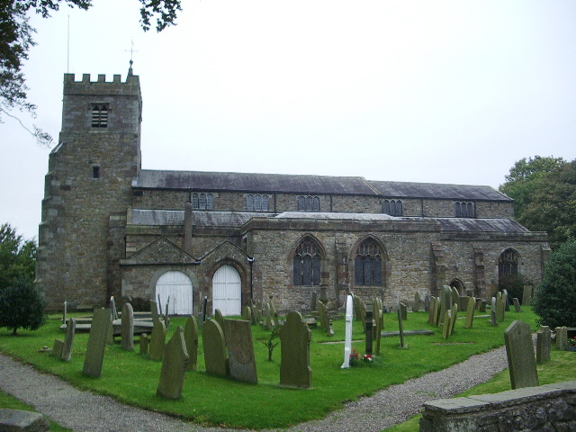 Church (Site of)Church · 850 yd
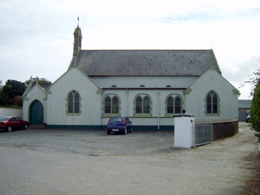 Saint Ruane's Catholic Churchchurch/chapel · 859 yd
 Site of R.C. ChapelChurch · 1183 yd
 Rosslare Harbour Maritime Heritage CentreMuseum · 1390 yd
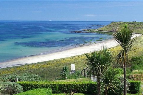 Moran's Bay PostVisitor information · 1.6 mi
 The Fairy Stone/RockNamed rock · 1.7 mi
 Lady's IslandVisitor information · 2.0 mi
 TowerBawn · 2.0 mi
 Shernock Hill/Knocks HillMountain / peak · 2.1 mi
 ScargeenIsland · 2.2 mi