What is recorded here
Ballycolla hides a man-made underground passage beneath gently undulating countryside, overlooked even by official maps from 1909. A slight depression at the ringfort’s southeast edge hints that people dug through solid earth to reach somewhere else. Perhaps they fled storms, concealed treasure or simply desired a shorter route across familiar land. The absence of marks preserves the passage’s mystery, inviting imagination to complete what measurement refused.
Situated in gently undulating countryside. Not marked on the 8141 or 1909 editions of the OS 6-inch maps. A slight depression, in SE quadrant of ringfort (LA029-0180010, may indicate the line of a Man-made underground passage.
The above description is derived from the published 'Archaeological Inventory of County Laois' (Dublin Stationery Office, 1995) compiled by P. David Sweetman, Olive Alcock and Bernie Moran. In certain instances the entries have been revised and updated in the light of recent research.
Date of upload: 17 December 2007
The monument record does not grant public access. Check the route and ask the landowner before entering private land.
- What survives
- Recorded monument
Places near here
 Enclosure in BallycollaEnclosure · 542 yd
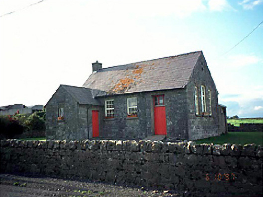 Ballacolla National Schoolschool · 1054 yd
 European PearEuropean Pear · 1100 yd
 Enclosure in Ballycolla HeathEnclosure · 1103 yd
 Kyle-cruttiaChurch · 1364 yd
 Ballygeehin Castle (in Ruins)Bawn · 1.2 mi
 CastleCastle, unclassified · 2.1 mi
 Big WoodWood · 2.6 mi
 Knocknamoe HouseMemorial · 5.1 mi
 Abbeyleix Heritage CentreMuseum · 5.2 mi
 Anker's IslandIsland · 6.5 mi
 Cnoc SeanrathaMemorial · 8.0 mi