
What is recorded here
Down Survey mapped a ruined castle in Ballicalo during the middle of the 17th century, yet no exact remains are listed today. Carrigan recorded that locals still pointed to the Old Gardens near the Tintore crossroads, preserving the shape of a building that measurement had already lost. The castle may have been a defensive house, a abandoned estate marker, or a boundary claim dressed in stone. Whatever it was, it left behind a place name sharp enough for people to argue around centuries later.
Unlocated castle within townland, described by Carrigan as 'According to the Down Survey Map there was a ruined castle in 'Ballicalo' in the middle of the 17th century. Its site is still pointed out in the 'Old Gardens', close to the cross-roads of Tintore' (Carrigan 1905, vol. 2, 68).
Compiled by: Caimin O'Brien
Date of upload: 17 December 2007
The monument record does not grant public access. Check the route and ask the landowner before entering private land.
- What survives
- Recorded monument
Places near here
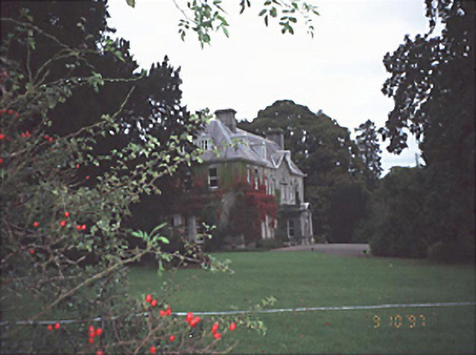 Moyne Househouse · 725 yd
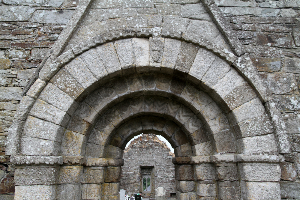 Killermogh Church (in Ruins)Church · 883 yd
 Birchfield PlantationForest · 1.7 mi
 Enclosure in Ballycolla HeathEnclosure · 1.7 mi
 Enclosure in WatercastleEnclosure · 1.8 mi
 Durrow CastleCastle · 1.8 mi
 Water CastleCastle · 1.8 mi
 Pedunculate OakPedunculate Oak · 1.9 mi
 Knocknamoe HouseMemorial · 4.0 mi
 Abbeyleix Heritage CentreMuseum · 4.2 mi
 1798 MonumentMemorial · 4.3 mi
 Anker's IslandIsland · 4.7 mi
Other information
Photo: Credit not shown in the picture search · Rights wording not checked; contact us if this picture should be removed