What is recorded here
Situated on a very slight N-facing slope in pasture-land. Indicated on the 1903 ed. OS 6-inch map as a small oval area at the junction of three field boundaries. A circular area (diam. 8m; H 0.85m) enclosed by a fosse (Wth 3.3m; D 0.52m) and an outer bank (Wth 2.8m; ext. H 0.57m). Overall diameter 16.9m N-S; 17.6m E-W. The bank on the N side has been augmented to build up a SW-NE field boundary. The E side also has a field boundary joining it but it has not been built up. Much stone protrudes from the outer bank.
The above description is derived from 'The Archaeological Inventory of County Tipperary. Vol. 1 - North Tipperary' compiled by Jean Farrelly and Caimin O'Brien (Dublin: Stationery Office, 2002). In certain instances the entries have been revised and updated in the light of recent research.
Date of upload/revision: 22 September 2008
A Neolithic passage tomb, dating to approximately 3500–2500 BCE. Its construction reflects early communal burial practices and ritual significance in the Neolithic landscape of Ireland.
The monument record does not grant public access. Check the route and ask the landowner before entering private land.
- What survives
- Recorded monument
Places near here
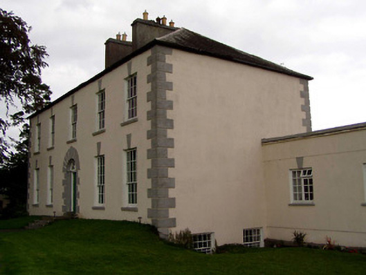 Coolnamunna Housecountry house · 1263 yd
 Tenessee Househouse · 1661 yd
 Ballycapple WoodForest · 1736 yd
 Enclosure in BrickanaghEnclosure · 1.1 mi
 Enclosure in Emmel WestEnclosure · 1.3 mi
 CastleCastle, tower house · 1.3 mi
 Thomas MacDonagh Heritage CentreMuseum · 1.8 mi
 MacDonagh HouseMemorial · 1.8 mi
 Castle in ruinsCastle, unclassified · 2.0 mi
 Knockanacree WoodForest · 2.6 mi
 James Devaney MemorialMemorial · 3.3 mi
 Gibbet HillMountain / peak · 7.2 mi