What is recorded here
Ballycahill is a hidden earthwork in County Limerick, Ireland, beside the Camoge River. It lies within a promontory fort near five ring-barrows, yet no photograph or map has clearly shown it since an aerial survey in 1986. The land may still hold a forgotten enclosure, waiting for rain, grass or time to reveal what people once built there.
In wet pasture on the floodplains of the Camoge River that forms townland boundary with Rathanny. In the centre of a promontory fort (LI040-271001), a group of five barrows – ring-barrows (LI040-270001-/005-) lie to the E. Not marked on OSi historic maps. Identified by the Bruff aerial photographic survey in 1986 (Bruff 137, AP 5/2101) as a circular cropmark of possible enclosure. No surface remains visible on the Digital Globe orthoimage taken between 2011-13 or on Google Earth orthoimage.
See attached Bruff photograph labelled 137.
Compiled by: Fiona Rooney
Date of upload: 8 July 2021
See attached ASI aerial photographs ASIAP – 347/20 on 05/01/2003.
The monument record does not grant public access. Check the route and ask the landowner before entering private land.
- What survives
- Recorded monument
Places near here
 Promontory fortPromontory fort, inland · 18 yd
 BarrowBarrow, ditch barrow · 77 yd
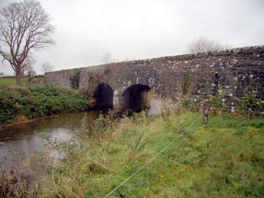 bridgebridge · 1105 yd
 Ballycahill Bridgebridge · 1172 yd
 Flat cemetery in Knockainy WestFlat cemetery · 1524 yd
 Desmond Castle (in ruins)Castle, unclassified · 1.1 mi
 Knockainy Castle (in ruins)Castle, tower house · 1.2 mi
 KnockainyMountain / peak · 1.6 mi
 St Patrick's WellSpring · 2.9 mi
 Edmund's WellSpring · 3.9 mi
 Kilteely HillMountain / peak · 4.6 mi
 Ballinvreena LoopVisitor information · 4.8 mi