
What is recorded here
West of Ballybrit Castle, a forgotten village dropped out of human memory and reappeared only on 1819 survey lines. House platforms and field boundaries still push through the soil as gentle bumps and hollows, waiting for someone to walk them again. The people who built that place are gone, but their shape remains under the grass, patient and unbroken.
To W of Ballybrit Castle (GA082-012002-). Though not shown on the published OS 6-inch maps, it is marked on the 1819 Grand Jury Maps and OS Fair Plans as an extensive settlement of houses and earthworks (info. GBCAS Files). What survives today ; is a series of bumps and hollows representing the remains of house platforms and field systems (CUCAP B61; 37, 39, 40).
The above description is derived from the published 'Archaeological Inventory of County Galway Vol. I - West Galway'. Compiled by Paul Gosling (Dublin: Stationery Office, 1993).
Date of upload: 05 August 2010
This monument is subject to a preservation order made under the National Monuments Acts 1930 to 2014 (PO no. 14/1977).
The monument record does not grant public access. Check the route and ask the landowner before entering private land.
- What survives
- Recorded monument
Places near here
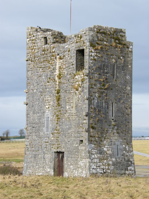 Ballybrit Castle (in ruins)Castle, tower house · 63 yd
 Enclosure in BallybritEnclosure · 212 yd
 IndicatedFairy fort / stone ringfort · 567 yd
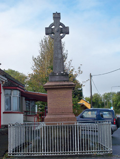 monumentmonument · 1155 yd
 Merlin CastleCastle, tower house · 1717 yd
 Royal Tara Visitor CentreHeritage attraction · 1.1 mi
 Chapel (in ruins)Chapel · 1.1 mi
 Cooper's CaveCave · 1.1 mi
 Aunteen WoodsWood · 1.5 mi
 Uncleen WoodsWood · 1.5 mi
 Ballyloughane BeachBeach / strand · 1.9 mi
 Rabbit IslandIslet · 2.2 mi
Other information
Photo: Credit not shown in the picture search · Rights wording not checked; contact us if this picture should be removed