What is recorded here
In flat pastureland close to E limits of Ballybrit racecourse. Very poorly preserved circular cashel (D 36.5m) defined by a drystone wall over-lain by a field wall. No visible trace survives of the 'Man-made underground passages' marked in the interior on 3rd ed. of OS 6-inch map (1947). A CBG (GA082-011002-) occupies the interior (GA082-010001-). (Rynne 1990)
The above description is derived from the published 'Archaeological Inventory of County Galway Vol. I - West Galway'. Compiled by Paul Gosling (Dublin: Stationery Office, 1993).
Date of upload: 05 August 2010
This remains an important historical record, but the official description says the monument is no longer visible or has been destroyed. The monument record does not grant public access. Check the route and ask the landowner before entering private land.
- What survives
- No visible remains or recorded as destroyed
Places near here
 IndicatedFairy fort / stone ringfort · 6 yd
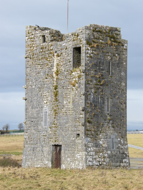 Ballybrit Castle (in ruins)Castle, tower house · 502 yd
 Enclosure in BallybritEnclosure · 519 yd
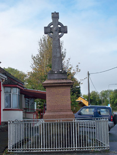 monumentmonument · 1645 yd
 Merlin CastleCastle, tower house · 1.1 mi
 Chapel (in ruins)Chapel · 1.2 mi
 Royal Tara Visitor CentreHeritage attraction · 1.4 mi
 Cooper's CaveCave · 1.4 mi
 Aunteen WoodsWood · 1.5 mi
 Uncleen WoodsWood · 1.6 mi
 Ballyloughane BeachBeach / strand · 2.1 mi
 Rabbit IslandIslet · 2.4 mi