
What is recorded here
Indicated was a fairy fort on a Donegal knoll overlooking Glenfinn valley, but human eyes now find only grass and memory. Local tradition still whispers about hidden tunnels beneath the soil, suggesting the fort did not vanish so much as withdraw from ordinary sight. The land remains good and the view remains clear, inviting people to wonder whether they are standing above a dormant chamber or an empty field.
There is now no trace of the 'Fort' shown on the 1st and 2nd editions of the OS 6-inch maps. A local tradition records the existence of 'Tunnels' (DG068-024001-) at this site. It was situated on a knoll on the side of Glenfinn valley in good land with good views.
The above description was derived from the 'Archaeological Survey of County Donegal. A description of the field antiquities of the County from the Mesolithic Period to the 17th century.' Compiled by: Brian Lacey with Eamon Cody, Claire Cotter, Judy Cuppage, Noel Dunne, Vincent Hurley, Celie O'Rahilly, Paul Walsh and Seán Ó Nualláin (Lifford: Donegal County Council, 1983). In certain instances the entries have been revised and updated.
Date of upload: 22 September 2008
The monument record does not grant public access. Check the route and ask the landowner before entering private land.
- What survives
- Recorded monument
Places near here
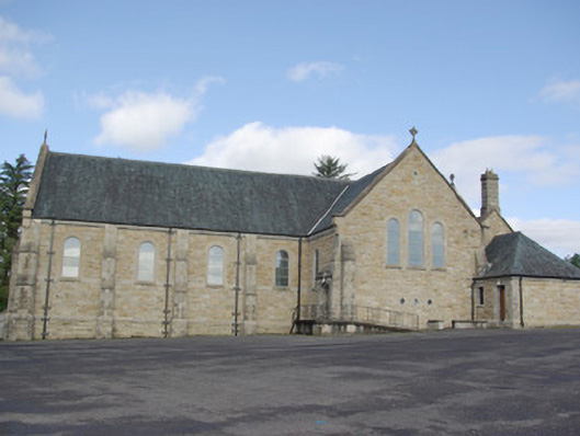 Our Lady of Perpetual Helpchurch/chapel · 407 yd
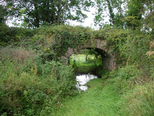 bridgebridge · 613 yd
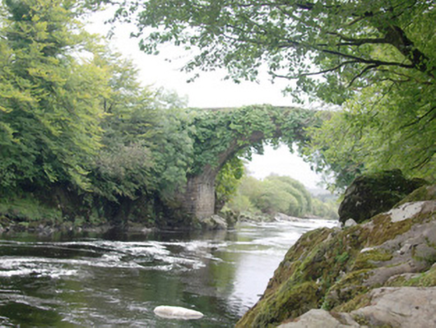 Altar (Site of)Penal Mass station · 1728 yd
 AltnapasteMountain / peak · 1.2 mi
 Fairy fort / stone ringfort in An Chluain ChlaíochFairy fort / stone ringfort · 1.5 mi
 Gorey HillMountain / peak · 2.0 mi
 Drumboe WoodForest recreation place · 5.7 mi
 Newmills Corn and Flax MillsHeritage attraction · 8.3 mi
 Bawn in Killynure OR Wilsons FortBawn · 8.5 mi
 Site of Castle SollusCastle, unclassified · 8.6 mi
 Battle of Scarrifholisbattle · 8.6 mi
 Meenachullion Nature ReserveNational nature reserve · 9.8 mi
Other information
Photo: Credit not shown in the picture search · Rights wording not checked; contact us if this picture should be removed