
What is recorded here
Yes. An Chluain Chlaíoch contains a thirty-seven-metre stone ring with a northern gap, likely an entrance, set in good pasture beneath excellent views. People may have lived there, feared there or simply seen the shape as fitting the hill. The stones remain clear enough to judge that much without inventing the rest.
Internal diam. 37m. A circular area enclosed by a largely surviving stone wall. Possibly original built sections occur along the N and E sector and on the W side of the 3m wide gap to the N which is probably the entrance. The interior is almost level except for three low rock outcrops. It is situated in good pasture with excellent views.
The above description was derived from the 'Archaeological Survey of County Donegal. A description of the field antiquities of the County from the Mesolithic Period to the 17th century.' Compiled by: Brian Lacey with Eamon Cody, Claire Cotter, Judy Cuppage, Noel Dunne, Vincent Hurley, Celie O'Rahilly, Paul Walsh and Seán Ó Nualláin (Lifford: Donegal County Council, 1983). In certain instances the entries have been revised and updated.
Date of upload: 22 September 2008
The monument record does not grant public access. Check the route and ask the landowner before entering private land.
- What survives
- Recorded monument
Places near here
 Isaac Butt Heritage Centreschool · 870 yd
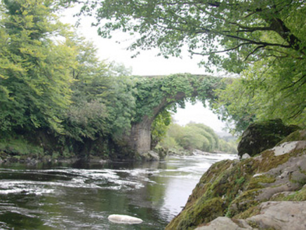 Altar (Site of)Penal Mass station · 959 yd
 AltarPenal Mass station · 1164 yd
 Holy WellHoly well · 1.4 mi
 AltnapasteMountain / peak · 1.9 mi
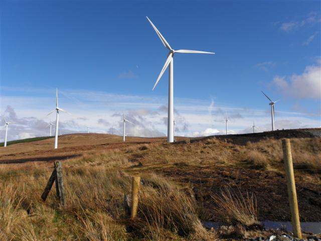 Three TopsMountain / peak · 2.7 mi
 Drumboe WoodForest recreation place · 7.1 mi
 Newmills Corn and Flax MillsHeritage attraction · 8.3 mi
 Meenachullion Nature ReserveNational nature reserve · 8.3 mi
 Site of Castle SollusCastle, unclassified · 8.7 mi
 Battle of Scarrifholisbattle · 8.7 mi
 Stackarnagh Abbey GraveyardGraveyard · 9.6 mi
Other information
Photo: Credit not shown in the picture search · Rights wording not checked; contact us if this picture should be removed