What is recorded here
Within Ballybeg tree-ring (LF023-014001-). At the inner face of the bank at W are the remains of a sub-rectangular enclosure (6.3m E-W; 5.8m N-S) of uncertain date. It is defined by a bank of earth and stone (H 1m) and access is via a gap (Wth 1.6m) at E. There is a second possible enclosure (LF023-014003-) to NNE.
Compiled by: Patrick F. O'Donovan
Date of upload: 26 August 2011
The monument record does not grant public access. Check the route and ask the landowner before entering private land.
- What survives
- Recorded monument
Places near here
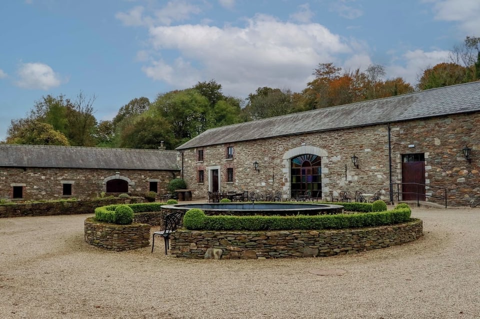 Enclosure in BallybegEnclosure · 275 yd
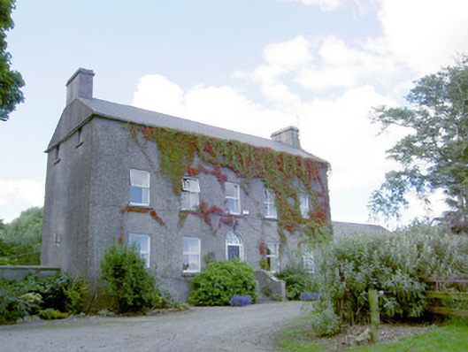 Richmount Hillhouse · 392 yd
 CastleCastle, motte · 399 yd
 IndicatedFairy fort / earthen ringfort · 992 yd
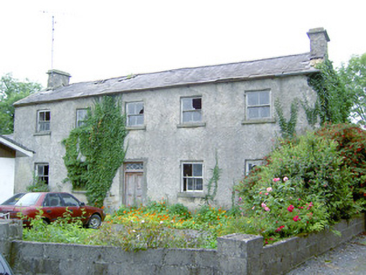 Keel Househouse · 1.2 mi
 DoonphilipCastle, motte · 1.7 mi
 National Famine WayWalking route · 3.2 mi
 Common LimeCommon Lime · 3.9 mi
 Abbeyshrule AbbeyRuins · 3.9 mi
 Goldsmith Birthplace, PallasVisitor information · 4.3 mi
 Newcastle WoodsForest · 4.5 mi
 Target WoodWood · 4.7 mi