
What is recorded here
Ballybeg tree-ring (LF010-023001-) stands within County Longford, Ireland. Patrick F. O'Donovan compiled the visible facts on 26 August 2011. A rectangular enclosure, a grassed stone mound and a possible house site cling to the inner bank, yet they may have belonged only to the making of the field boundary. The stones still mark the place even when their purpose resists certainty.
Within Ballybeg tree-ring (LF010-023001-). A report in 1976 (SMR file) recorded a house site (LF023-014003-) at the inner face of the bank at N. A possible rectangular enclosure (c. 6.1m NNE-SSW; c. 3.5m ENE-WSW) can be traced, albeit with difficultly, extending into the interior from the inner face of the bank at NNW. The other three sides are defined by fragmentary remains of grassed-over loose stone. A short length of possible walling (L 0.3m) on the ENE side is the best preserved (wall T. 0.2m). Immediately ENE of the possible enclosure is a small, low, approx. circular, largely grassed over mound of stones (2m ENE-WSW; 1.9m NNW-SSE). It is likely that these features are associated with the construction of the field boundary rather than enclosures or structures.
Compiled by: Patrick F. O'Donovan
Date of upload: 26 August 2011
The monument record does not grant public access. Check the route and ask the landowner before entering private land.
- What survives
- Recorded monument
Places near here
 Enclosure in BallybegEnclosure · 289 yd
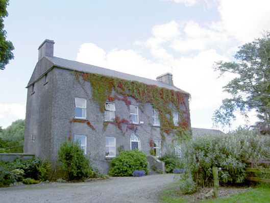 Richmount Hillhouse · 392 yd
 CastleCastle, motte · 395 yd
 IndicatedFairy fort / earthen ringfort · 1011 yd
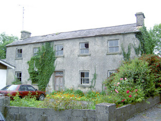 Keel Househouse · 1.3 mi
 DoonphilipCastle, motte · 1.7 mi
 National Famine WayWalking route · 3.2 mi
 Common LimeCommon Lime · 3.9 mi
 Abbeyshrule AbbeyRuins · 3.9 mi
 Goldsmith Birthplace, PallasVisitor information · 4.3 mi
 Newcastle WoodsForest · 4.5 mi
 Target WoodWood · 4.7 mi
Other information
Photo: Credit not shown in the picture search · Rights wording not checked; contact us if this picture should be removed