What is recorded here
Thirty-three metres of packed earth rise above the Galway grassland, hiding underground passages beneath its solid bank. People built that fort to control the hill and probably lived inside it, yet the local name still claims the fairies took it back. The boundary between human history and fantasy collapses when intentional tunnels disappear under a ring everyone now treats as a gift from another world.
On a prominent hill in undulating grassland. Circular rath (diam. 33m), in fair condition, defined by a bank. Within the centre of the interior is circular depression (diam. 3m) enclosed by a grassed-over stone wall; probably a hut site (GA097-007002-). Adjacent to this structure are two earthen banks (L 8m) running E-W; possibly internal divisions. The enclosing element overlies a Man-made underground passage (GA097-007001-) at S and within N sector of the interior, a linear hollow (L c. 8m), aligned NE-SW, may be the remains of another possible Man-made underground passage (GA097-007003-).
Compiled by: Galway Archaeological Survey, UCG
Date of upload: 13 October 2016
The monument record does not grant public access. Check the route and ask the landowner before entering private land.
- What survives
- Recorded monument
Places near here
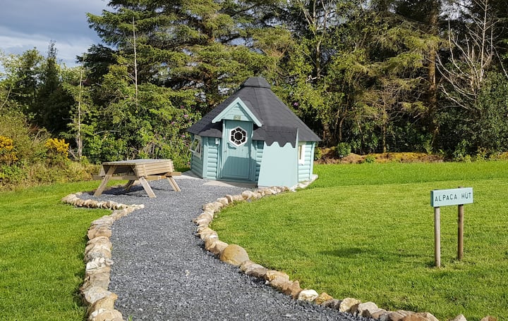 Hut site in Ballybaun (lackalea Ed)Hut site · 1 yd
 IndicatedFairy fort / earthen ringfort · 475 yd
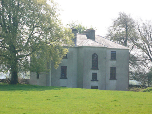 Lynchfort Househouse · 1148 yd
 Bawn in Cahernamuck WestBawn · 1544 yd
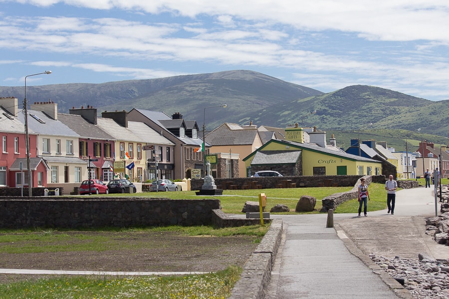 Quarry in CaherhenryhoeQuarry · 1578 yd
 Raruddy Castle (in ruins)Castle, tower house · 1.5 mi
 Turoe StoneHeritage attraction · 1.5 mi
 Barrack IslandIslet · 3.0 mi
 Middle IslandIslet · 3.1 mi
 Long PointHeadland · 3.9 mi
 Dartfield Horse MuseumHeritage attraction · 4.8 mi
 Moyard WoodWood · 5.2 mi