What is recorded here
The 1837 map marked a windmill in Ballough, but only a broad raised circle and shallow ditch remain beside the field. The mill probably turned local grain into flour before it disappeared, yet no tower or room survives to prove how high it stood. A person may have lived inside the drum, listened to the sails and dropped flour through a hole above a wooden tray. The mill is gone, but its round shadow still marks the ground where wind became bread.
Foundations of a windmill marked on the 1837 OS 6-inch map. The base of this windmill is evident as a slightly raised area (Diam. 18.50m) enclosed by a ditch (Wth 8m, D 0.40m). According to the owner the ditch had been deeper prior to levelling c. 1985. Post-1700 AD in date.
Compiled by: Geraldine Stout
Date of upload: 26 August 2011
The monument record does not grant public access. Check the route and ask the landowner before entering private land.
- What survives
- Recorded monument
Places near here
 Pit in BalloughPit · 1163 yd
 Field system in BalloughField system · 1166 yd
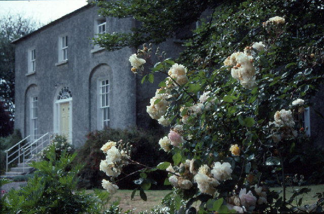 Glebe Houserectory/glebe/vicarage/curate's house · 1232 yd
 Thomas AsheMemorial · 1430 yd
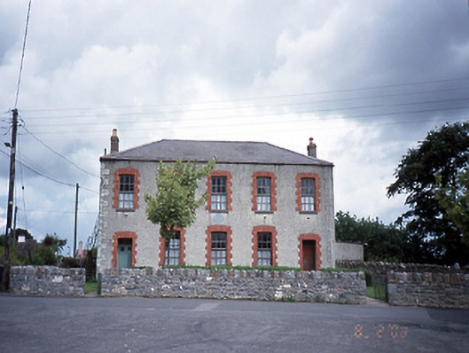 Lusk National Schoolschool · 1660 yd
 Picnic AreaPicnic place · 1676 yd
 LuskMemorial · 1.2 mi
 CastleCastle, unclassified · 1.5 mi
 Turvey Allotments and Nature ReserveNature reserve · 2.7 mi
 Roseville Business ParkVisitor information · 2.8 mi
 Turvey HouseCastle, tower house · 2.8 mi
 Hollywood GreatMountain / peak · 3.2 mi