What is recorded here
Indicated is a faint thirty-four-metre circle on an eastern slope in County Mayo, so shallow it may be a ringfort or only a memory of one. It belongs to the hidden architecture of western Ireland, where human making and fairy making use the same copper wire. A person who walks past it may be tempted to complete the circle with imagination, because the land has already done half the work.
In pasture, on E slope of slight rise. Circular raised area (diam. 34m E-W), barely visible above field level. Possible ringfort.
The above description has been derived from D. Lavelle (compiler), An Archaeological Survey of Ballinrobe and District including Lough Mask and Lough Carra. Lough Mask and Lough Carra Tourist Development Association (1994), No. 313.
Date of upload: 22 January 2013
The monument record does not grant public access. Check the route and ask the landowner before entering private land.
- What survives
- Recorded monument
Places near here
 Enclosure in Balloor EastEnclosure · 426 yd
 The Celtic FurrowHeritage attraction · 608 yd
 TobernacannanaHoly well · 1124 yd
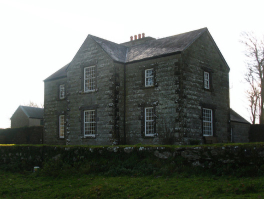 Luffertaun Housefarm house · 1167 yd
 Luffertaun Castle in ruinsCastle, unclassified · 1197 yd
 Church in ruinsChurch · 1527 yd
 Ballintubber AbbeyHeritage attraction · 1580 yd
 Mearing IslandIslet · 1.5 mi
 Bird IslandIslet · 1.7 mi
 Castleburke in ruinsCastle, tower house · 1.8 mi
 Doon WoodWood · 2.5 mi
 Redgate ParkWood · 2.5 mi