What is recorded here
Fairy fort / earthen ringfort in Ballintue is a fairy fort or earthen ringfort in Ballintue, County Westmeath, Ireland. This raised sub-circular area sits on a prominent natural rise and measures approximately 38 metres from north to south and 42 metres from east to west. It is enclosed by two earth and stone banks with an intervening fosse, while the inner bank is best preserved from east-southeast to southeast. A western entrance gap, a causeway across the fosse, and a large stone set on edge in the northwest quadrant define the surviving structure.
Situated on top of a prominent natural rise, surrounded by gently undulating grassland with good views in all directions. Ringfort (WM011-118---) 350m to SE. A raised sub-circular shaped area (approx. diam. 38m N-S; 42m E-W) enclosed by two earth and stone banks and an intervening fosse. The inner bank is best preserved from ESE-SE, and is very slight or levelled elsewhere. The outer bank has been modified where if forms part of a field fence from N-E-SW and has traces of stone facing. There is an entrance gap (Wth 2.9m) with a large stone set on edge on the N side in the inner bank at E, a causeway (Wth 4.8m; H 0.3m) across the fosse and gap in the outer bank represented by a modern gateway (Wth 2m). The interior rises towards the centre, where there is a very shallow circular depression which may represent a house site (WM011-117001-). In the NW quadrant a large stone (L 2m NNW-SSE; H 0.5m) set on edge is of unknown significance.
See attached profile of monument surveyed and drawn by the ASI.
Compiled by: Frank Coyne and Caimin O'Brien
Date of upload: 28 August 2017
The monument record does not grant public access. Check the route and ask the landowner before entering private land.
- What survives
- Recorded monument
Places near here
 Hut site in BallintueHut site · 1 yd
 CastleCastle, unclassified · 530 yd
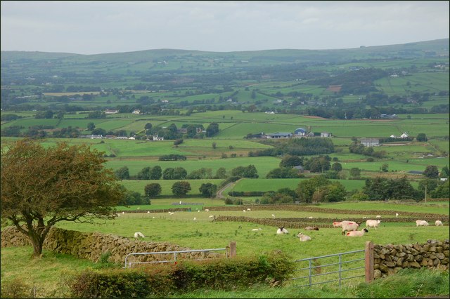 OutlinedFairy fort / earthen ringfort · 628 yd
 Church (in Ruins)Church · 633 yd
 Penitential station in Laragh (moygoish By.)Penitential station · 797 yd
 Partially hachuredCastle, ringwork · 1538 yd
 Baronstown ForestWood · 2.3 mi
 Horse-chestnutHorse-chestnut · 2.3 mi
 Newcastle WoodsForest · 8.0 mi
 National Famine WayWalking route · 11 mi
 CrossCross, High cross · 650 yd
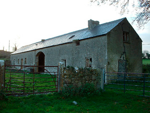 outbuildingoutbuilding · 813 yd