What is recorded here
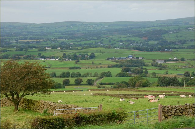
Situated on a slight natural rise surrounded by gently undulating grassland. Kilmacnevan House 200m to N. Ringfort (WM011-114----) 50m to SSE. A sub-circular shaped area (approx. diam. 25m NW-SE; 25m NE-SW) enclosed by a low earthen bank revetted externally with a drystone wall and a slight outer fosse. The interior slopes towards the perimeter at ESE & WNW and is almost completely overgrown. In the ESE quadrant there is a linear earth and stone bank, some of which are large flag-stones (L 7.2m; H 0.5m). It is possible that this was originally a ringfort that was re-used as a tree ring in the post-1700 period.
Compiled by: Frank Coyne and Caimin O'Brien
Date of upload: 28 August 2017
The monument record does not grant public access. Check the route and ask the landowner before entering private land.
- What survives
- Recorded monument
Places near here
 Church (in Ruins)Church · 334 yd
 CrossCross, High cross · 341 yd
 CastleCastle, unclassified · 493 yd
 Hut site in BallintueHut site · 628 yd
 Penitential station in Laragh (moygoish By.)Penitential station · 937 yd
 Site of CastleCastle, unclassified · 1.0 mi
 Ancient Ring FortWood · 2.3 mi
 Baronstown ForestWood · 2.6 mi
 Abbeyshrule AbbeyRuins · 5.0 mi
 Newcastle WoodsForest · 7.7 mi
 Noughaval CemeteryArchaeological place · 10 mi
 National Famine WayWalking route · 11 mi
Other information
Photo: Credit not shown in the picture search · Rights wording not checked; contact us if this picture should be removed