What is recorded here
Partially hachured is a fairy fort or earthen ringfort in Ballinphort, Ballynakill (corkaree By.), County Westmeath, Ireland. The 1911 Ordnance Survey map depicts this bivallate enclosure as a circular area with an internal diameter of approximately 32 metres, enclosed by a bank, fosse and external bank. The external bank is recorded as surviving only from north-northeast through east to east-southeast, while the townland boundary intersects the site from west to north. A 1975 report noted that a silage pit had been built on the site, leaving only a segment of the enclosing bank and a shallow fosse at the west.
Situated on a low rise in pasture-land, this site has been almost completely destroyed. Ringfort (WM007-041----) 275m to NW. Ringfort (WM007-042----) 220m to SW. Ringfort (WM007-069----) 220m to SSW. Bivallate ringfort (approx. int. diam. 32m N-S) depicted on the 1837 ed. OS 6-inch map as a circular shaped enclosure intersected from W to N by the townland boundary with Ballynakill. No enclosing element is depicted on the N side of the townland boundary. On the revised 1911 ed. OS 6-inch map the monument is depicted as a bivallate enclosure consisting of a circular area enclosed by a bank, fosse and external bank which only survives from NNE-E-ESE . The interior of the ringfort is intersected from W-N by a townland boundary with no external bank depicted on the NW side. It seems likely that the external bank of the ringfort from W to N is located in the adjoining Ballynakill townland. Modern farm buildings now stand inside the centre of the ringfort as visible on Digital Globe aerial photograph taken November 2011. An ASI site report from 1975 recorded that a silage pit had been built on the site of the monument. Only a segment of the enclosing bank (max. H 2.5m) and shallow fosse survives at W.
Compiled by: Frank Coyne and Caimin O'Brien
Date of upload: 13 April 2017
The monument record does not grant public access. Check the route and ask the landowner before entering private land.
- What survives
- Recorded monument
Places near here
 Hut site in Ballynakill (corkaree By.)Hut site · 345 yd
 IndicatedFairy fort / ringfort · 833 yd
 Mortimer's CastleArchaeological place · 1.0 mi
 Donore Ho.House, 17th century · 1.1 mi
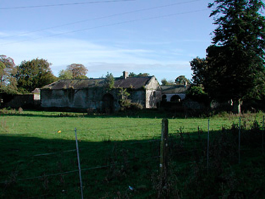 Donore Housefarmyard complex · 1.1 mi
 Bridge Memorial (Kenna)Memorial · 1.5 mi
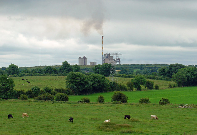 Partially indicatedCastle, motte · 1.6 mi
 European BeechEuropean Beech · 3.4 mi
 Pedunculate OakPedunculate Oak · 3.7 mi
 Church IslandIsland · 4.9 mi
 Carrickphilbin IslandIslet · 5.3 mi
 Seafin HillMountain / peak · 8.7 mi
Other information
Photo: Credit not shown in the picture search · Rights wording not checked; contact us if this picture should be removed