
What is recorded here
Partially hachured is a fairy fort or earthen ringfort in Ballinive, County Westmeath, Ireland. The monument is a roughly oval-shaped area measuring 38.5 metres east to west and 31.4 metres north to south, enclosed by an earth and stone bank, an intervening fosse, and an outer bank. An entrance gap with a top width of 4.2 metres and a basal width of 2 metres is located at the southeast, while a modern gateway stands at the west-northwest. A shallow fosse is visible from east-southeast and south-southwest, and a low outer bank is visible from the south-southwest.
Situated on SW facing slope of rinsing ground, in pasture, with good views to SE, S and W but restricted to N. Ringforts (WM024-095---- / WM024-132----) lie c. 127m to NW and c. 132m to SE, respectively. Monument described as a roughly oval-shaped area (dims. 38.5m E-W; 31.4m N-S) enclosed by an earth and stone bank, an intervening fosse and an outer bank with entrance gap (Wth at top 4.2m; basal Wth 2m) at SE. The bank has been incorporated into a field boundary from NW-N-NE. There is a shallow fosse visible from E-SE and S-SW and a low outer bank visible from S-SW. The interior has a gentle SW-facing slope with three house sites (WM024-097001-/002-/003-) visible. There is a modern gateway at WNW.
Compiled by Alison McQueen, Vera Rahilly and Caimin O’Brien.
Date of upload: 21 August 2019
The monument record does not grant public access. Check the route and ask the landowner before entering private land.
- What survives
- Recorded monument
Places near here
 Killeenbrack CastleCastle · 685 yd
 OutlinedEnclosure · 1409 yd
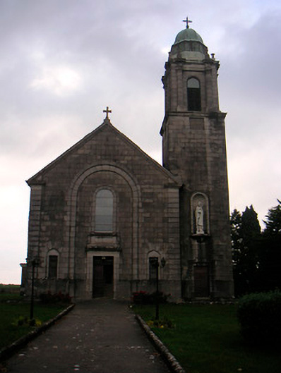 Saint Brigid's Catholic Churchchurch/chapel · 1472 yd
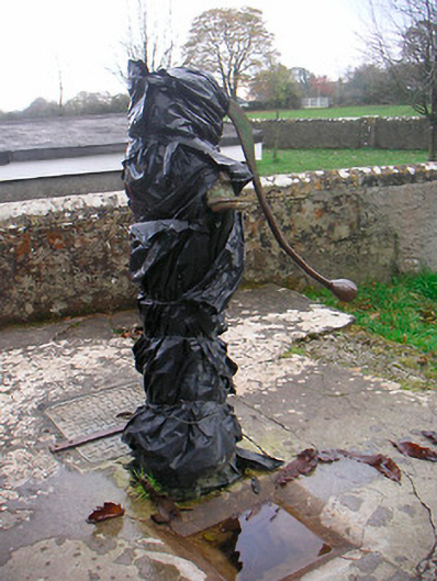 water pumpwater pump · 1511 yd
 European ashEuropean ash · 1686 yd
 Brides WellHoly well · 1691 yd
 IndicatedCastle, unclassified · 1701 yd
 Sam's ParkForest · 1.2 mi
 Hill of UisneachMountain / peak · 1.8 mi
 KnockastiaMountain / peak · 2.7 mi
 Craft WorkshopHeritage attraction · 7.3 mi
 Guest ServicesVisitor information · 7.3 mi
Other information
Photo: Credit not shown in the picture search · Rights wording not checked; contact us if this picture should be removed