
What is recorded here
Rath is a fairy fort or earthen ringfort in Ballindrumma, County Waterford, Ireland. The subcircular grass-covered area measures 47 metres east-west and 40 metres north-south on a gentle northwest-facing slope. A 3-metre-wide earthen bank defines the site, standing 1 metre high internally and 1.2 to 2.2 metres high externally at the south, while an outer fosse 2.5 metres wide at its base and 0.5 to 1.6 metres deep at the south runs along the southwest. The bank is reduced to a scarp reaching 0.9 metres high from the west through the north to the east, and a limekiln has been built in the fosse at the south.
On a gentle NW-facing slope. Subcircular grass-covered area (dims. 47m E-W; 40m N-S) defined by a earthen bank (Wth 3m; int. H 1m; ext. H 1.2-2.2m at S) and outer fosse (Wth at base 2.5m; D 0.5-1.6m at S) S-W. The bank is reduced to a scarp (max. H 0.9m) W-NE and a limekiln has been built in the fosse at S. A Man-made underground passage site (WA035-010002-) is in the interior.
The above description is derived from the published 'Archaeological Inventory of County Waterford' (Dublin: Stationery Office, 1999). In certain instances the entries have been revised and updated in the light of recent research.
Date of upload/revision: 23 December 2008
The monument record does not grant public access. Check the route and ask the landowner before entering private land.
- What survives
- Recorded monument
Places near here
 RoadRoad, road/trackway · 1171 yd
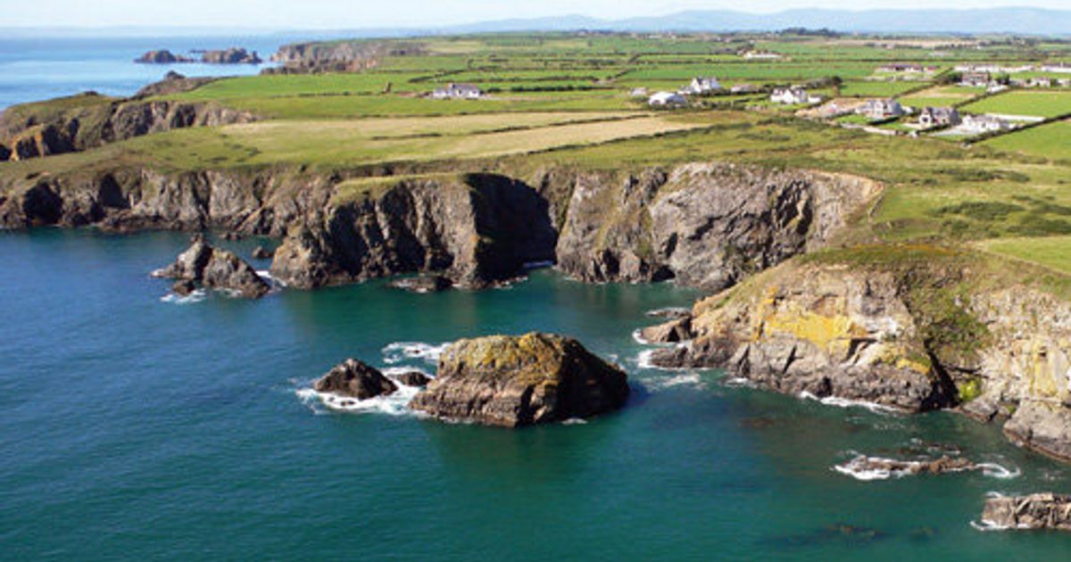 Embanked enclosureFairy fort / ringfort · 1486 yd
 Man-made underground passage in CurradarraMan-made underground passage · 1645 yd
 Saint Declan's Holy WellSpring · 1665 yd
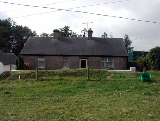 farm housefarm house · 1.1 mi
 CarronadavdergMountain / peak · 1.7 mi
 Clashmore Heritage CentreHeritage attraction · 2.0 mi
 Castle (in ruins)Castle, tower house · 2.7 mi
 Kilmaloo LoughWood · 3.1 mi
 Dromore WoodWood · 3.5 mi
 Site of CastleCastle, unclassified · 4.1 mi
 Ardmore Open FarmHeritage attraction · 4.2 mi
Other information
Photo: Credit not shown in the picture search · Rights wording not checked; contact us if this picture should be removed