
What is recorded here
Identified during an aerial photographic survey by Dr. Gillian Barrett on 13 July 1990. Aerial photograph (GB90.BT.19) shows the cropmark of the western half of an incomplete curvilinear enclosure defined by a fosse, and bisected N-S by a later field boundary. Located in close proximity to a sub-rectangular enclosure defined by a fosse (KD035-071001-) and a circular enclosure defined by a fosse, with a smaller enclosure or ring-ditch attached on the south-east (KD035-071----).
Compiled by: Gillian Barrett
Date of upload: 12 December 2011
The monument record does not grant public access. Check the route and ask the landowner before entering private land.
- What survives
- Recorded monument
Places near here
 Enclosure in BallindrumEnclosure · 149 yd
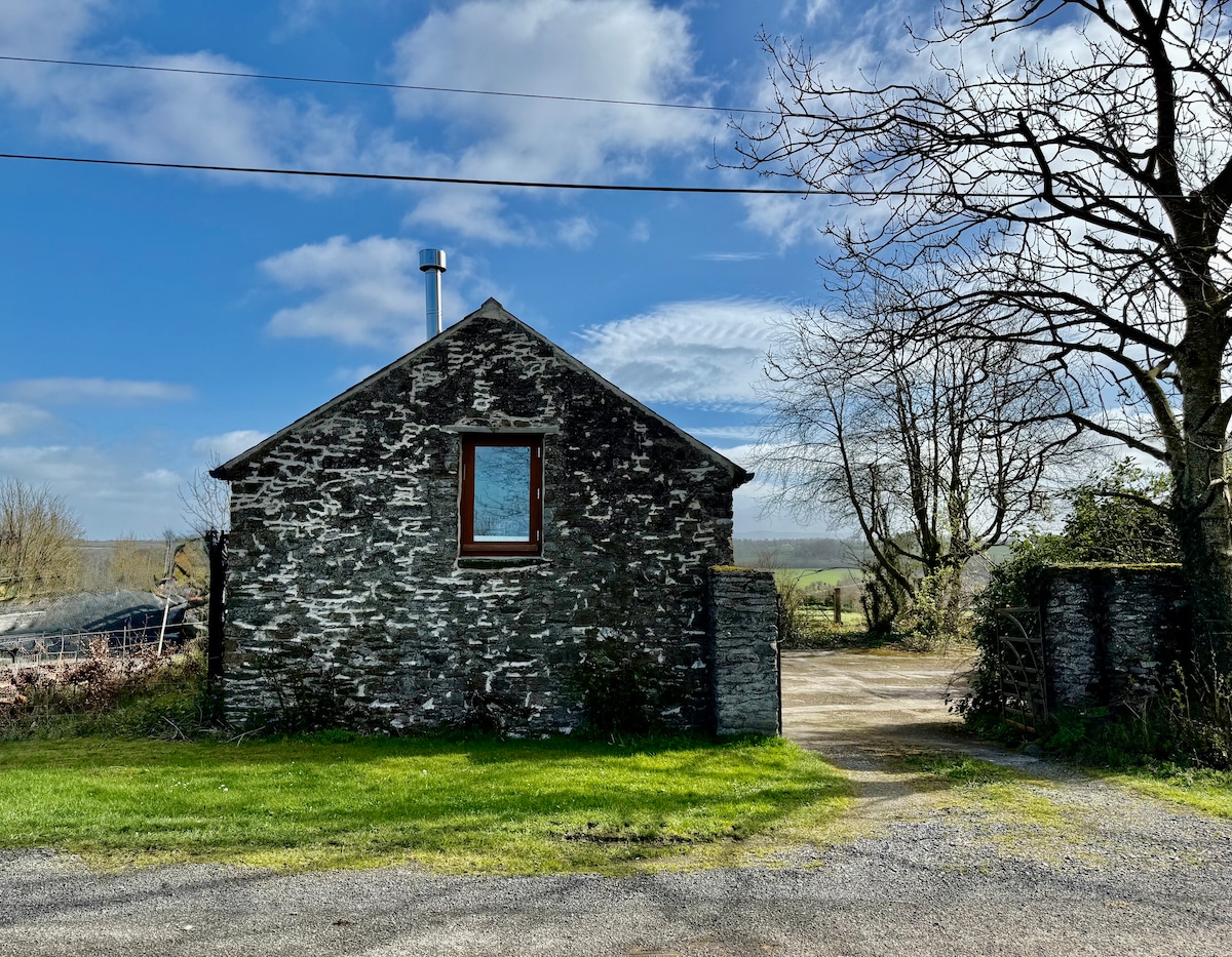 Enclosure in Burtown BigEnclosure · 1533 yd
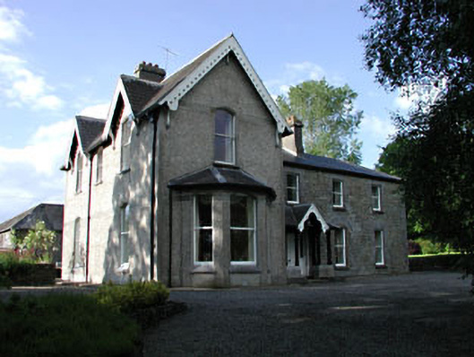 Burtownfarm house · 1543 yd
 Church in ArdscullChurch · 1713 yd
 Burtown House and GardensHeritage attraction · 1.0 mi
 Inch WoodForest · 1.2 mi
 Inch CastleCastle, tower house · 1.6 mi
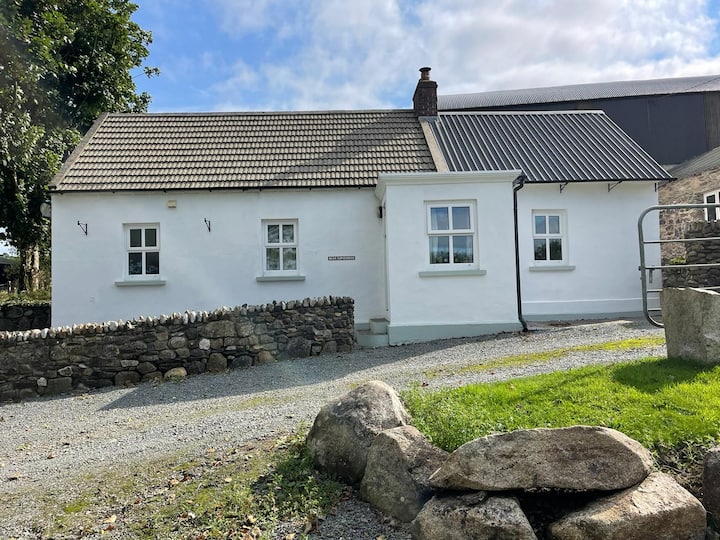 Ballycullane WoodForest · 1.6 mi
 Gorden Bennet Race memorialMemorial · 1.7 mi
 History of Moat of ArdscullVisitor information · 1.7 mi
 Ardscull MoatCastle, motte · 1.8 mi
 Battle of Kilrushbattle · 3.6 mi
Other information
Photo: Credit not shown in the picture search · Rights wording not checked; contact us if this picture should be removed