What is recorded here
Fairy fort / ringfort in Ballinderry (moyashel & Magheradernon By.) is a fairy fort or ringfort in Ballinderry (moyashel & Magheradernon By.), County Westmeath, Ireland. The 1837 OS Fair Plan map annotated the site as Fort, while the revised 1913 edition depicted it as a roughly circular-shaped enclosure with a diameter of approximately 49 meters and a quarry in the southwest quadrant. No surface remains are visible on Digital Globe aerial photography, as the area is now occupied by a modern housing estate.
No surface remains visible of monument now located underneath modern housing estate. Annotated 'Fort' on the 1837 OS Fair Plan map. Depicted on the revised 1913 ed. OS 25-inch map as a roughly circular-shaped enclosure (approx. diam. 49m) with a quarry in the SW quadrant. Monument is not visible today on Digital Globe aerial photography as the area is now occupied by a modern housing estate.
Compiled by: Alison McQueen, Vera Rahilly and Caimin O’Brien
Date of upload: 04 June 2019
The monument record does not grant public access. Check the route and ask the landowner before entering private land.
- What survives
- Recorded monument
Places near here
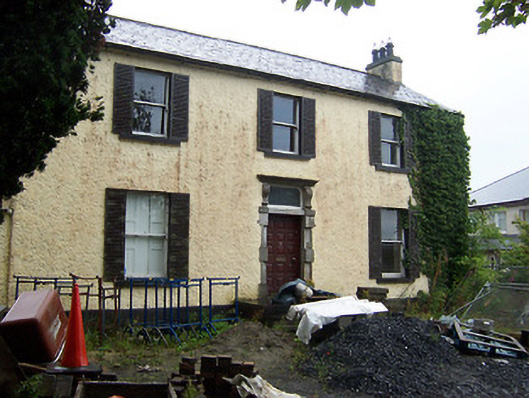 Millmount Househouse · 407 yd
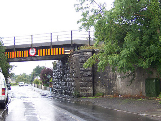 bridgebridge · 411 yd
 IndicatedEcclesiastical enclosure · 667 yd
 Petits Castle Mote & Mill (Site of)Castle, unclassified · 796 yd
 Site of CastleCastle, unclassified · 917 yd
 Priests WellHoly well · 965 yd
 The Chimera GalleryGallery · 1030 yd
 Famine MemorialMemorial · 1040 yd
 Augustinian Monks Memorial StatueMemorial · 1067 yd
 Mullingar Cathedral MuseumMuseum · 1329 yd
 Saint Brigid's WellSpring · 2.3 mi
 Lady's IslandWood · 3.3 mi