What is recorded here
Fairy fort / earthen ringfort in Ballinderry (moyashel & Magheradernon By.) is a fairy fort or earthen ringfort in Ballinderry (moyashel & Magheradernon By.), County Westmeath, Ireland. The 1913 map depicts an oval-shaped earthwork measuring 41 metres from northeast to southwest and 43 metres from northwest to southeast, defined by an irregular outer scarp. A 1970 description records an almost level raised area enclosed by a high steep earthen bank, a shallow outer fosse, and a slight counterscarp bank of earth and stones.
Situated on a slight rise, in relatively low-lying, poorly drained pasture with restricted views. Depicted on the revised 1913 ed. OS 25-inch map as an oval-shaped earthwork (approx. dims. 41m NE-SW; 43m NW-SE) which is defined by an irregular, outer scarp (approx. overall dims. 80m NE-SW; 70m NW-SE).
Monument described in 1970 as an oval-shaped, almost level raised area enclosed by a high steep earthen bank, a shallow outer fosse and a slight counterscarp bank of earth and stones. This is surrounded by an annular space which is bounded by a slight earthen bank and external fosse. There is a slight radial bank across the annular space at S. The original entrance is not recognisable and there is a disturbance gap through the scarp at N. There is a modern E.S.B. pole standing within the interior. Monument is visible today as a partially tree-planted multivallate earthwork on Digital Globe aerial photography. High elevated platform may suggest that this was a raised rath or platform ringfort or possibly the remains of an Anglo-Norman motte castle.
Compiled by: Alison McQueen, Vera Rahilly and Caimin O’Brien
Date of upload: 04 June 2019
The monument record does not grant public access. Check the route and ask the landowner before entering private land.
- What survives
- Recorded monument
Places near here
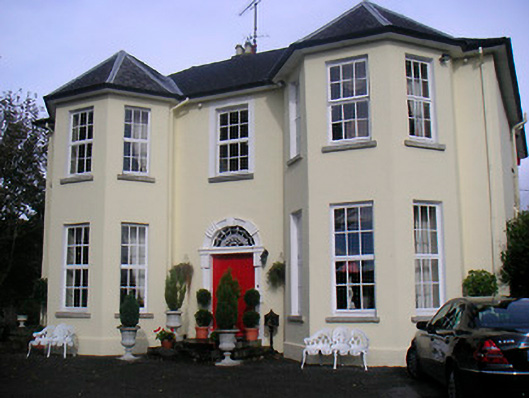 Lynn Lodgehouse · 347 yd
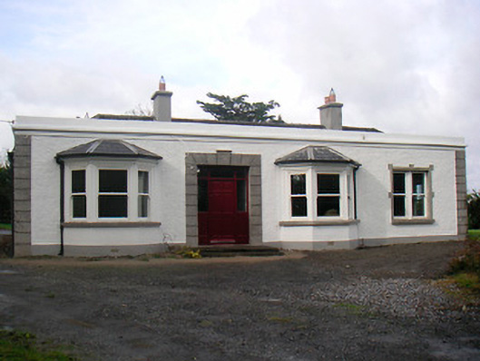 Mount Lynnhouse · 460 yd
 Boardstown Castle (in Ruins)Castle, tower house · 1095 yd
 Partially hachuredFairy fort / earthen ringfort · 1113 yd
 IndicatedEcclesiastical enclosure · 1607 yd
 Petits Castle Mote & Mill (Site of)Castle, unclassified · 1.0 mi
 The Chimera GalleryGallery · 1.1 mi
 Famine MemorialMemorial · 1.1 mi
 Augustinian Monks Memorial StatueMemorial · 1.2 mi
 Mullingar Cathedral MuseumMuseum · 1.3 mi
 Saint Brigid's WellSpring · 2.9 mi
 Lady's IslandWood · 3.8 mi