
What is recorded here
Stony Island is a tree-covered oval of small stones in Ballaghdacker Lough, standing two metres above the water with a possible causeway at its eastern edge. It is not a natural rock but a built crannog, joined a hundred metres north by a second island, suggesting a small lake community rather than a lonely refuge. The stones may have been carried from the shoreline and stacked until the water retreated around them. People may have lived there, farmed the marsh edge or simply watched the lough change with the seasons.
In Ballaghdacker Lough. An oval tree-covered island (E-W 90m, N-S 60m) composed of small stones and standing c. 2m above the present water level. A possible causeway is visible at E. Another crannog (GA020-011----) lies c. 100m to N.
The above description is derived from the published 'Archaeological Inventory of County Galway Vol. II - North Galway'. Compiled by Olive Alcock, Kathy de hÓra and Paul Gosling (Dublin: Stationery Office, 1999).
Date of upload: 05 August 2010
The monument record does not grant public access. Check the route and ask the landowner before entering private land.
- What survives
- Recorded monument
Places near here
 Sally IslandIslet · 230 yd
 Carrigeen ChurchChurch · 784 yd
 Site of Abbey GreyEcclesiastical site · 1.3 mi
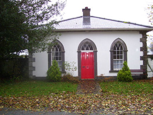 Rookwoodgate lodge · 1.4 mi
 LisdooArchaeological place · 1.5 mi
 Castle KellyCastle, tower house · 1.8 mi
 CastleHouse, fortified house · 2.0 mi
 Aughrane WoodsForest · 2.0 mi
 Mount MaryMountain / peak · 2.7 mi
 European YewEuropean Yew · 3.5 mi
 Site of Killomaine Grave YardArchaeological place · 7.7 mi
 Inch IslandIsland · 8.1 mi
Other information
Photo: Credit not shown in the picture search · Rights wording not checked; contact us if this picture should be removed