What is recorded here
Fairy fort in Baile Na Saor Íochtarach, County Kerry. A circular bivallate enclosure, outer bank surviving only on the north half, now hidden beneath a band of darker grass above an infilled ditch. It sat in a wide triangle of land between the Dingle to Anascaul road and two streams flowing south to Minard Bay. People may have lived there, fenced it, forgotten it, or fed it to story. The grass still keeps the shape of what disappeared.
On the 2nd edition of the OS map this site is shown as a circular bivallate enclosure, the outer bank present around the N half of the site only. The only visible trace at present is a band of darker green grass which indicates the outline of the infilled fosse. It was located in the large triangle of land that lies between the main Dingle to Anascaul road and 2 streams that flow S to Minard Bay.
The above description is derived from J. Cuppage, ‘Corca Dhuibhne. Dingle Peninsula archaeological survey. Ballyferriter. Oidhreacht Chorca Dhuibhne’ (1986), no. 630. In certain instances the entries have been revised and updated in the light of recent research.
Date of upload: 7 August 2013
The monument record does not grant public access. Check the route and ask the landowner before entering private land.
- What survives
- Recorded monument
Places near here
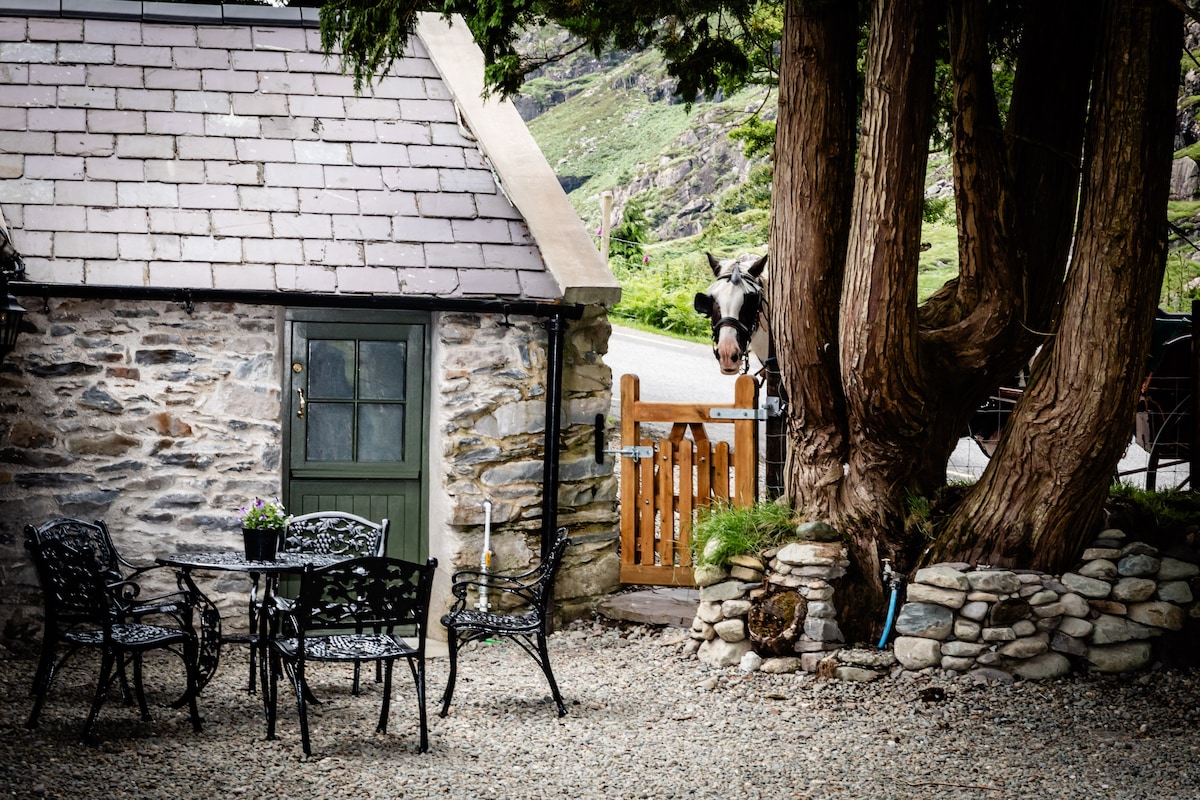 Hut site in Baile Na Saor ÍochtarachHut site · 568 yd
 Structure in Acres (corkaguiny By.)Structure · 856 yd
 Caisleán na Mine AirdeCastle · 1182 yd
 Minard Castle (in ruins)Castle, tower house · 1182 yd
 Tobar EoinSpring · 1302 yd
 Kilmurry Church (in ruins)Church · 1387 yd
 Acres PointHeadland · 1.1 mi
 Cnoc an GhleannaMountain / peak · 1.1 mi
 Church in FarrannacarrigaChurch · 1.8 mi
 Lispole Ambush MonumentWayside cross · 2.1 mi
 Graveyard in BallynacourtyGraveyard · 2.3 mi
 Jerome ConnorMemorial · 2.6 mi