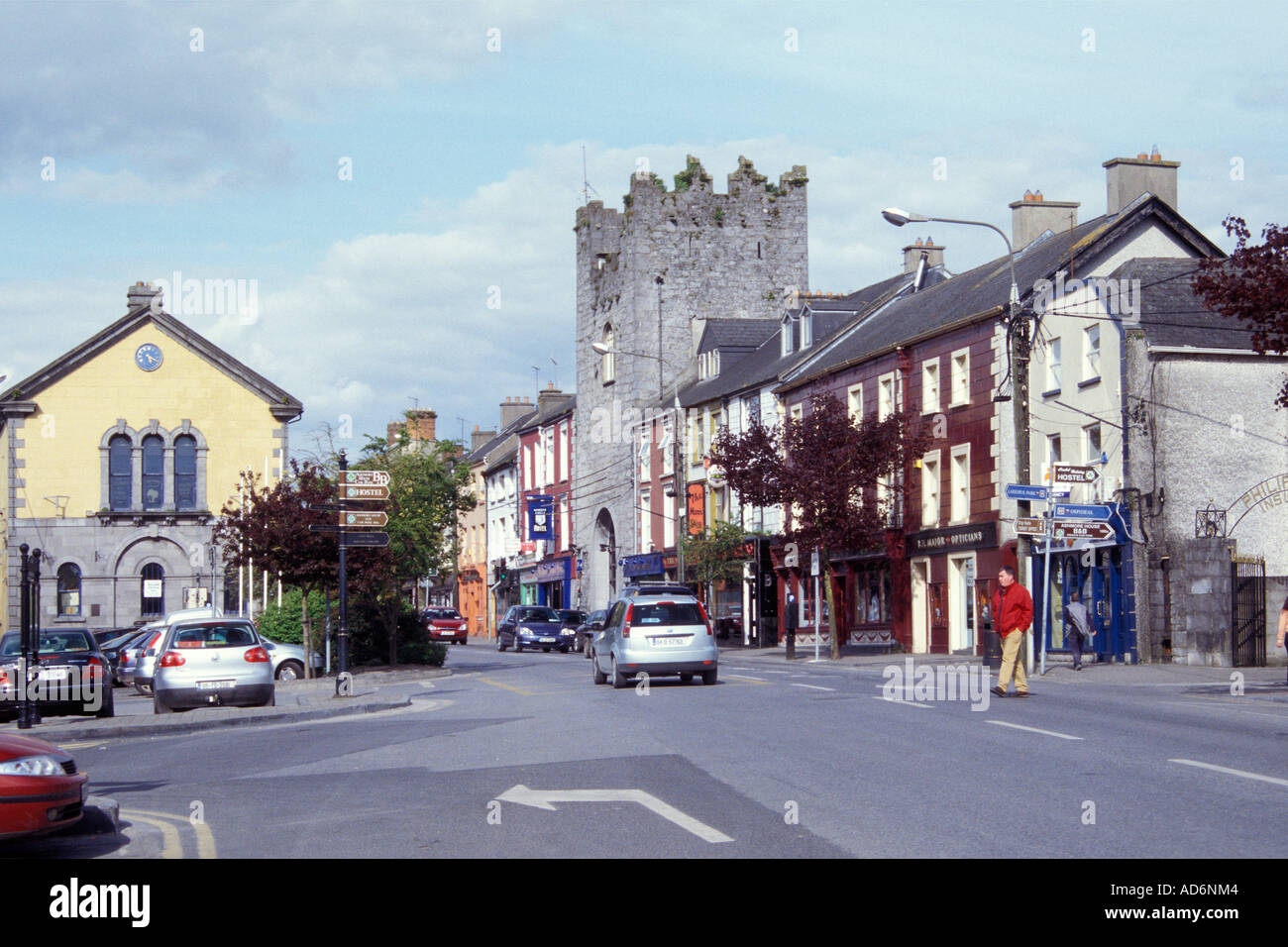
What is recorded here
The enclosure in Ayle (Toem parish) is in County Tipperary, Ireland. It occupies a natural hillock measuring about 49 metres northeast to southwest and 39 metres northwest to southeast. A bank 2.75 metres wide, 0.45 metres high inside and 0.6 metres high outside encloses the site. Dense vegetation prevents detailed examination of the bank or interior.
On top of a natural hillock on wet poorly drained marshy terrain with Cahernahallia River to the W and N of the monument. A heavily overgrown elongated ntaural hillock (overall dims. c. 49m NE-SW; c. 39m NW-SE) orientated on an E-W axis and enclosed by a bank (Wth 2.75m; int. H 0.45m; ext. H 0.6m) which was impossible to examine due to dense overgrowth on the hillock. No diameter or detailed inspection was possible due to the dense cover of vegetation on the monument.
Compiled by: Jean Farrelly
Date of upload: 26 August 2011
The monument record does not grant public access. Check the route and ask the landowner before entering private land.
- What survives
- Recorded monument
Places near here
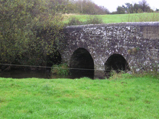 Longford Bridgebridge · 721 yd
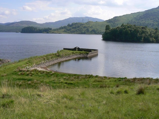 Killarragon Burial GroundChildren's burial ground · 740 yd
 Longford Castle (in ruins)Castle, unclassified · 1357 yd
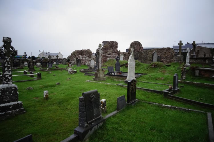 Grave YardBurial ground · 1.0 mi
 Derraun Bridgebridge · 1.3 mi
 Coonagh CastleCastle · 1.8 mi
 Oola HillMountain / peak · 2.7 mi
 GortnageraghMountain / peak · 3.9 mi
 ToberagaddySpring · 4.2 mi
 Soloheadbeg Ambushambush · 4.3 mi
 Soloheadbeg Ambush SiteMemorial · 4.7 mi
 St. Patrick's WellSpring · 7.7 mi
Other information
Photo: Credit not shown in the picture search · Rights wording not checked; contact us if this picture should be removed