What is recorded here
Fairy fort / earthen ringfort in Attykit is a fairy fort or earthen ringfort in Attykit, County Tipperary, Ireland. It occupies a low rise in gently undulating pasture, enclosing an oval area 43 metres north-south and 48 metres east-west. An earthen bank 3.8 metres wide surrounds this space, standing 0.45 metres high inside and 0.5 metres high outside, though cattle erosion has reduced parts of it to a 3.2 metre wide scarp 0.3 metres high. A possible entrance 3.5 metres wide opens at the west, while the interior slopes gently downward toward the east.
In gently undulating pasture on top of low rise. Oval area (dims. 43m N-S; 48m E-W) defined by earthen bank (Wth 3.8m; int. H 0.45m; ext. H 0.5m) reduced to scarp (Wth 3.2m; H 0.3m) in places. Possible entrance (Wth 3.5m) at W. Bank intermittently eroded by cattle. Interior has gentle E-facing downslope. Cahill (1982) noted 'a subdivision in SE quadrant delimited by low bank' which was not discernible during subsequent field inspection. Pond abutting exterior at WSW.
Compiled by: Jean Farrelly
Date of upload: 26 August 2011
The monument record does not grant public access. Check the route and ask the landowner before entering private land.
- What survives
- Recorded monument
Places near here
 Enclosure in Garryandrew NorthEnclosure · 1247 yd
 Church (in ruins)Church · 1526 yd
 RahinaghmoreEnclosure · 1.0 mi
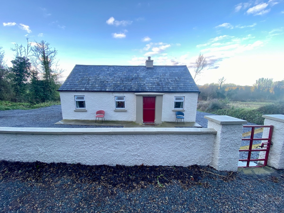
 Commons Cottagehouse · 1.1 mi
 Bawn in Carrigeen (knockgraffon Par.)Bawn · 1.3 mi
 Ballydoyle Castle (in Ruins)Castle · 1.3 mi
 Cashel Folk MusuemMuseum · 3.6 mi
 Black mulberryBlack mulberry · 3.6 mi
 The Rock Of CashelVisitor information · 3.8 mi
 Cormac's ChapelHeritage attraction · 3.8 mi
 Ballyknock HillMountain / peak · 4.4 mi
 Siege of Cahir Castlesiege · 7.1 mi