What is recorded here
In level flood plain of improved pasture at a crossing point on the Multeen river. The bridge is not visible at ground level. It is named as 'Site of Old Br.' on the 1840 edition OS 6-inch map. The area is covered in willow trees. There is a watering point for cattle c. 8m to the SSE, where some large, loose boulders are visible. The townland boundary to the NE and SW of the river has been removed.
Compiled by: Jean Farrelly
Date of upload: 26 August 2011
This remains an important historical record, but the official description says the monument is no longer visible or has been destroyed. The monument record does not grant public access. Check the route and ask the landowner before entering private land.
- What survives
- No visible remains or recorded as destroyed
Places near here
 TemplemacduaghChurch · 237 yd
 Enclosure in AttybrickEnclosure · 412 yd
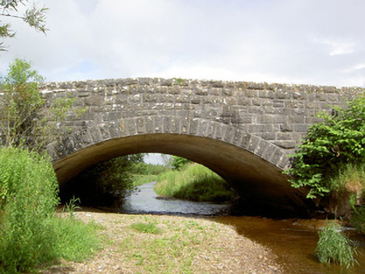 Morpeth Bridgebridge · 975 yd
 Enclosure in Pallas (donohill Par.)Enclosure · 1373 yd
 Site of CastleCastle, unclassified · 1.4 mi
 Maudemount BogWood · 1.7 mi
 Shanbally fortCastle, ringwork and bailey · 1.7 mi
 Dundrum Woods (Marl Bog)Forest · 2.1 mi
 Soloheadbeg Ambushambush · 2.7 mi
 Soloheadbeg Ambush SiteMemorial · 3.1 mi
 I.R.A. 3rd. Tipperary Brigade MemorialMemorial · 4.3 mi
 It's a long way to TippereryHeritage attraction · 4.8 mi