What is recorded here
Situated on a slight SW-facing slope. A conglomerate stone oriented N-S (dims. 0.9m x 0.35m; H 1.67m) with a crest-ridge sloping down to N.
The above description is derived from the published 'Archaeological Inventory of County Waterford' (Dublin: Stationery Office, 1999). In certain instances the entries have been revised and updated in the light of recent research.
Date of upload/revision: 23 December 2008
Likely dating to the Neolithic or Early Bronze Age, this standing stone may have functioned as a territorial marker or ceremonial feature. No specific folklore or detailed use is recorded for this site.
The monument record does not grant public access. Check the route and ask the landowner before entering private land.
- What survives
- Recorded monument
Places near here
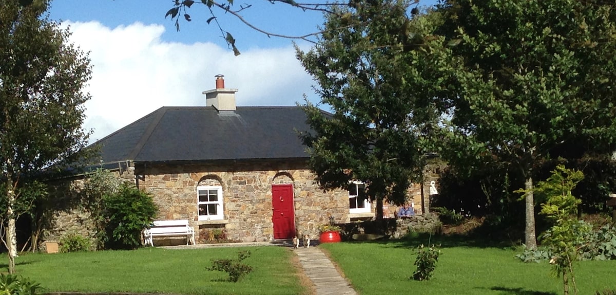 Embanked enclosureFairy fort / earthen ringfort · 629 yd
 IndicatedEnclosure · 1426 yd
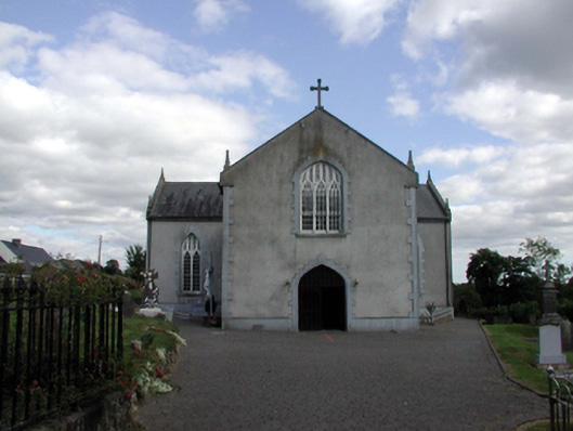 Saint Anne's Catholic ChurchOfficially recorded historic building · 1.2 mi
 Kilclooney WoodForest · 1.3 mi
 Croughaun HillMountain / peak · 1.4 mi
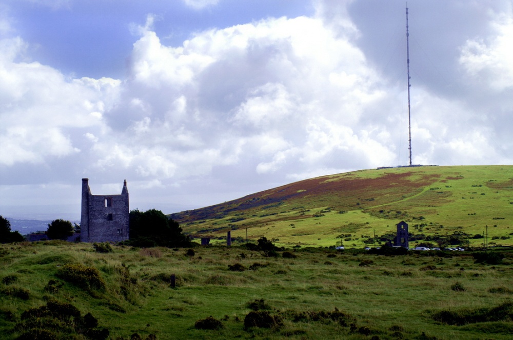 Mine in KnockaturnoryMine · 1.5 mi
 Site of CastleCastle, unclassified · 2.3 mi
 Castle (in ruins)Castle, unclassified · 2.5 mi
 CoumshingaunMountain corrie and lake · 2.5 mi
 LackaduffMountain / peak · 2.6 mi
 Crough WoodWood · 2.6 mi
 8 Arch GalleryGallery · 2.9 mi