What is recorded here
Indicated is a moated site on a ridge in County Laois, Ireland, where a subrectangular enclosure once rose beside an eastern stream. The southern bank and fosse still mark the shape, while the western and northern edges fade into grass. It is the kind of place that invites wonder about who lived there, what they kept inside, and why they chose a ridge visible from a distance.
Situated on a ridge in a very prominent position, nearby stream to E. Marked as a subrectangular enclosure (max. dims. c. 50m N-S; 45m E-W) on the 1841 edition of the OS 6-inch map. The bank (Wth c. 3.5m, int. H c. 0.3m, ext. H c. 0.9m) and external fosse (Wth c. 2.8m) survive at S. Outline of bank visible at W and N. No other visible surface remains.
The above description is derived from the published 'Archaeological Inventory of County Laois' (Dublin Stationery Office, 1995) compiled by P. David Sweetman, Olive Alcock and Bernie Moran. In certain instances the entries have been revised and updated in the light of recent research.
Date of upload: 17 December 2007
The monument record does not grant public access. Check the route and ask the landowner before entering private land.
- What survives
- Recorded monument
Places near here
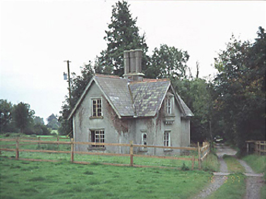 Ashfield Hallgate lodge · 505 yd
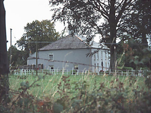 Providence Lodgehouse · 833 yd
 Enclosure in RathtilligEnclosure · 1149 yd
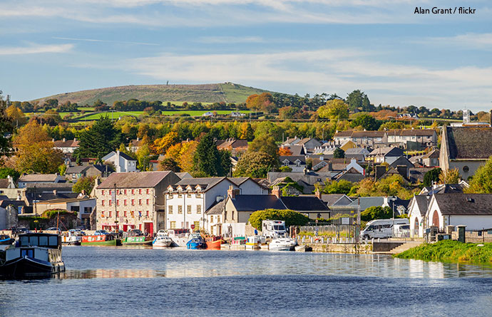 IndicatedEnclosure · 1605 yd
 New Castle in ruinsCastle, unclassified · 2.1 mi
 MoatCastle, motte and bailey · 2.2 mi
 Killeshin ChurchVisitor information · 2.8 mi
 European Crab AppleEuropean Crab Apple · 2.9 mi
 Church (in ruins), GraveyardChurch · 4.3 mi
 Pedunculate OakPedunculate Oak · 4.8 mi
 Carlow CastleRuined medieval castle · 5.0 mi
 VISUAL Centre for Contemporary ArtGallery · 5.2 mi