What is recorded here
Half a kilometre west of Mweelrea's eastern shoulder, a broad shallow ring of stone lies almost lost in grass, and a smaller conical cairn rises from its centre like a later thought returned to finish the first. The two shapes may belong to different times or one deliberate design, but the result is a place where human hands kept speaking across generations instead of stopping at the first answer. Donegal Bay glitters to the north, and the plateau edge makes the stones feel less like a monument and more like a sentence never quite finished.
In rough pasture at the N edge of a plateau overlooking Donegal Bay. This is a circular, grass-covered cairn (diam. 8m; H 0.3m) with a conical cairn (diam. 2m; H 1.75m) built on top of it.
The above description is derived from 'The Archaeological Inventory of County Leitrim' compiled by Michael J. Moore (Dublin: Stationery Office, 2003). In certain instances the entries have been revised and updated in the light of recent research.
Date of upload: 23 September 2008
The monument record does not grant public access. Check the route and ask the landowner before entering private land.
- What survives
- Recorded monument
Places near here
 Arroo MountainMountain / peak · 4 yd
 Enclosure in GorteendarraghEnclosure · 1003 yd
 Giant's GraveArchaeological place · 1.3 mi
 IndicatedSweathouse · 1.6 mi
 CastleCastle, tower house · 1.8 mi
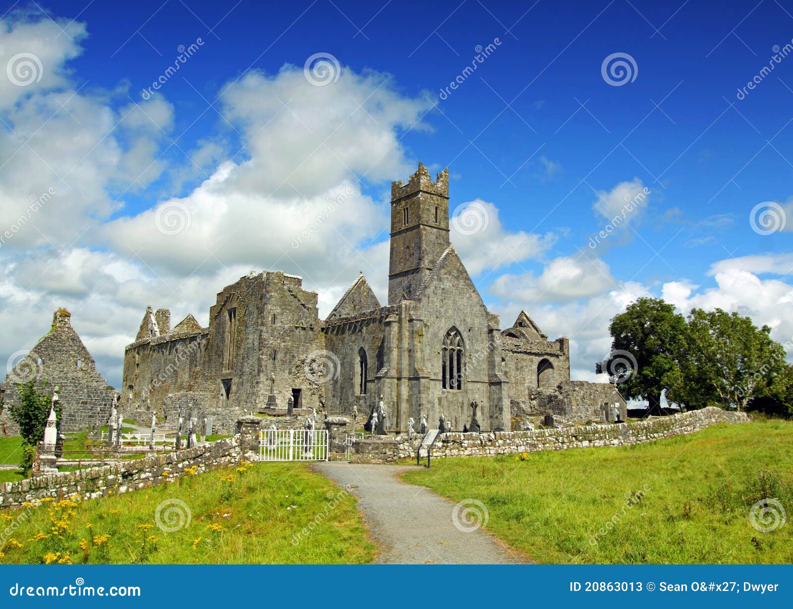 AbbeyChurch · 1.8 mi
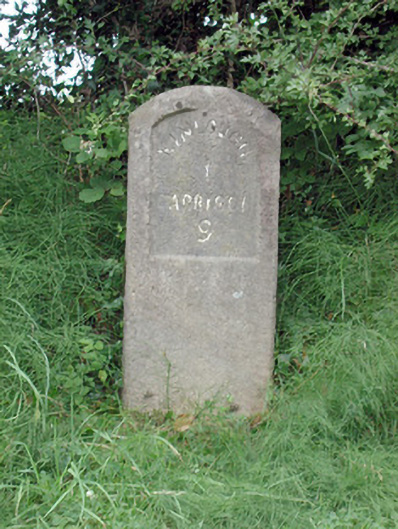 milestone/milepostmilestone/milepost · 1.8 mi
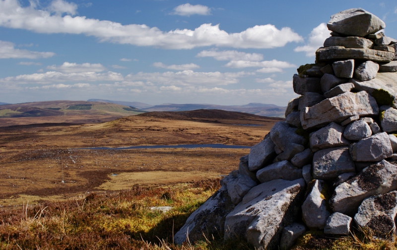 Aganny TopMountain / peak · 2.0 mi
 InisheherIslet · 2.3 mi
 Rosfriar PointHeadland · 2.5 mi
 Lareen BayBay · 2.6 mi
 InishmeanIslet · 2.9 mi