
What is recorded here
Reported (28-9-2021) by Mr Aidan Harte, Project Co-ordinator, Leitrim Sweathouse Project. Depicted but not named on the Cassini edition of the O.S. 6-inch map where it is shown incorporated into a roughly N-S field boundary which has since been removed. In pasture, a partially collapsed, drystone-built, sub-circular chamber (diams. 1.42m by 1.39m; H 0.72m) the interior of which is filled with collapsed stone from the former roof. The monument is incorporated into a circular (diam. 3.1m) surrounding mound with a gap (Wth. 0.6m; H 0.3m) at NNW.
See attached images:
• LE002-049----_1 The sweathouse in a photo taken by W A Greene (1880-1940), now in the National Museums NI, Catogue No. HOYFM.WAG.1420. Note. Forge Town is the name of the cross roads c. 250m SW of this sweathouse at Cloone. (https://www.nmni.com/collections/history/photographs/green-collection)
• LE002-049----_2 View from north on 12/08/2021.
Compiled by: Gearóid Conroy
Date of upload: 3 November 2022
A local holy well or ritual site; wider significance not recorded.
The monument record does not grant public access. Check the route and ask the landowner before entering private land.
- What survives
- Recorded monument
Places near here
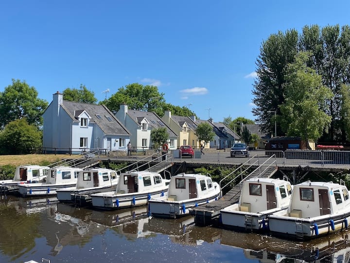 Embanked enclosureFairy fort / stone ringfort · 624 yd
 Kinlough Housecountry house · 1279 yd
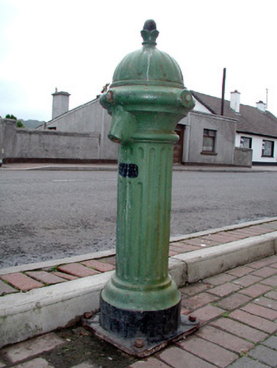 water pumpwater pump · 1284 yd
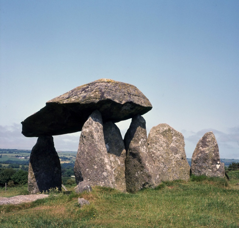 CromlechArchaeological place · 1.4 mi
 Giant's GraveArchaeological place · 1.4 mi
 Arroo MountainMountain / peak · 1.6 mi
 CastleCastle, tower house · 1.7 mi
 Lareen BayBay · 2.2 mi
 Rosfriar PointHeadland · 2.3 mi
 InisheherIslet · 2.5 mi
 Bawn in DuncarbryBawn · 2.8 mi
 AghalateeveMountain / peak · 3.2 mi
Other information
Photo: Credit not shown in the picture search · Rights wording not checked; contact us if this picture should be removed