
What is recorded here
We regLocated towards the bottom of an E-facing slope with a small S-N stream c. 180m to the E. Centre-line testing (E4067) in advance of the N25 New Ross by-pass identified four small areas of burnt stones in a clay and charcoal mixes (Doyle et al. 2010, 37-8). It was set aside for resolution as Arnestown 2, which consisted of several areas. When this area (D) was excavated (E4111) it revealed a clay-cut trough (dims 1.3mx 1.3m; D 0.31m) containing some burnt stone material, but the trough had been truncated on the E side by a slightly curving N-S drain (Wth 1.2m; D 0.38m) and its burnt mound had been dispersed. Fulacht fia (WX034-098001-) is c. 120m to the WSW and fulacht fia (WX034-0098003-) is c. 50m to the NNE (Clarke and Hackett 2012, 9; Hackett 2013)
Compiled by: Michael Moore
Date of upload: 24 September, 2013
The monument record does not grant public access. Check the route and ask the landowner before entering private land.
- What survives
- Recorded monument
Places near here
 Fulacht fia in Arnestown (bantry By.)Fulacht fia · 115 yd
 Site of Arnestown CastleCastle, unclassified · 577 yd
 Arnestown Housefarm house · 722 yd
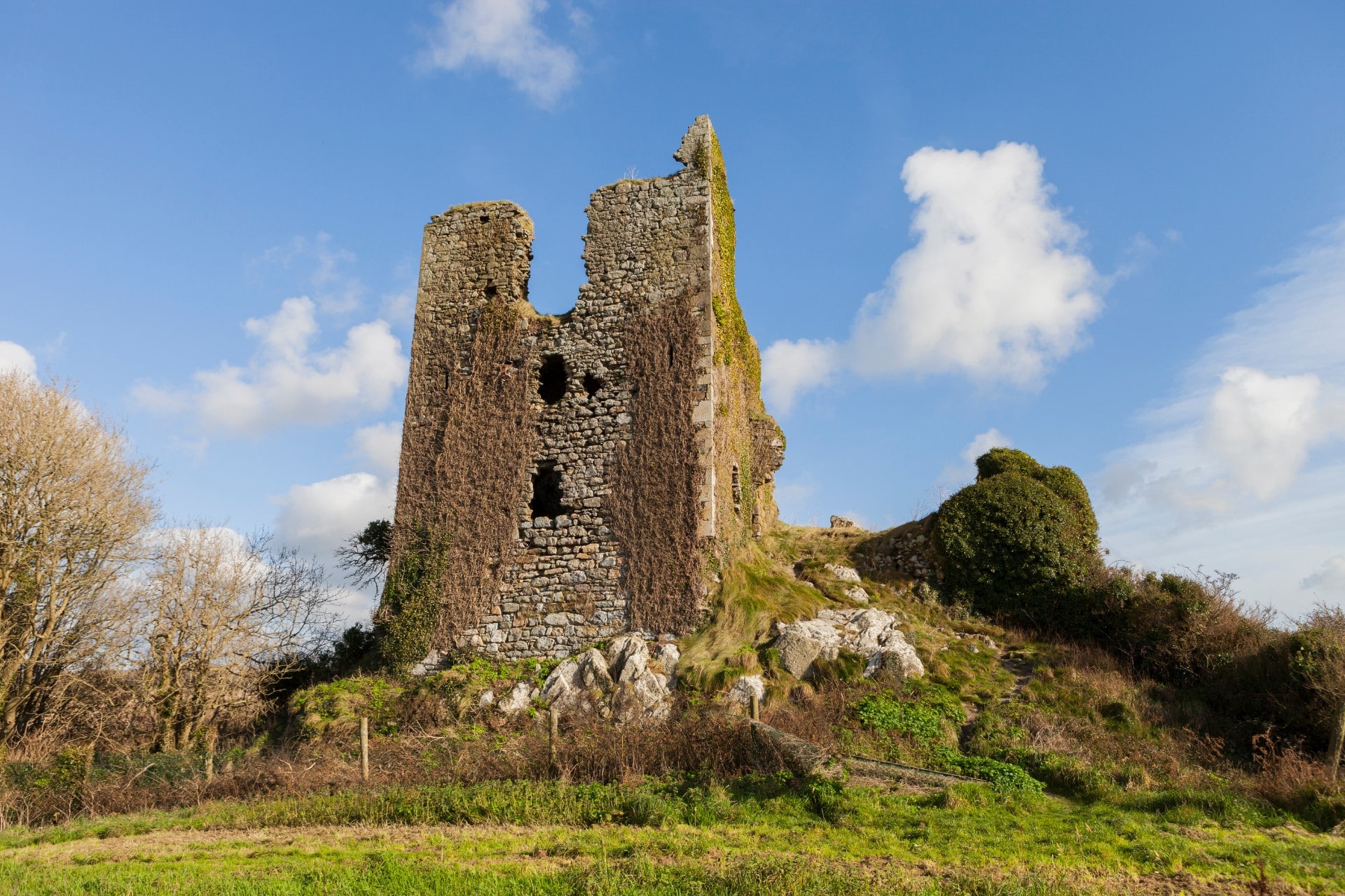 site of CastleCastle, unclassified · 994 yd
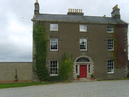 Talbot Hallcountry house · 1028 yd
 Embanked enclosureFairy fort / ringfort · 1107 yd
 Crutched FriarsMemorial · 1.7 mi
 Ros Tapestry ExhibitionGallery · 1.8 mi
 O'NeillMemorial · 1.8 mi
 Dunbrody Famine Ship Visitor CentreHeritage attraction · 1.8 mi
 Lacken HillMountain / peak · 1.9 mi
 Forest Of The DunbrodyForest · 2.1 mi
Other information
Photo: Credit not shown in the picture search · Rights wording not checked; contact us if this picture should be removed