What is recorded here
Rath appears repeatedly across County Armagh, marking hidden forts, burial mounds and human resistance scattered through the green fields. Each earthwork still holds the shape of the hands that built it, preserving pride, fear and memory long after the names faded. To walk past one is to touch a living archive, not a dead ruin.
Rath is recorded as a archaeological place in County Armagh. Its open map record supplies this location and any linked names or public references.
Places near here
 Ballsmill Amenity LandPicnic place · 758 yd
 Holy well in DrumbillaHoly well · 1041 yd
 ENCLOSURE in CarriveENCLOSURE · 1369 yd
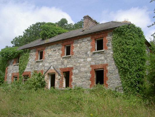 Dungooly Millmiller's house · 1401 yd
 Bawn in DungoolyBawn · 1528 yd
 Dungooly Bridgebridge · 1655 yd
 Sky HillMountain / peak · 1723 yd
 Golf 30Fort · 1.3 mi
 CroslieveMountain / peak · 1.5 mi
 Mass Rock Loop TrailWalking route · 1.5 mi
 Forkhill Greenspace PathwayWalking route · 1.7 mi
 Ring of Gullion Way - ForkhillVisitor information · 1.9 mi