What is recorded here
Magic breathes through Ards. Four roads still point at the hidden circle, marking the fort as a living beacon rather than a dead ruin.
In pasture, at the convergence of four field boundaries. This rath is indicated on the 1846 OS 6-inch map as a circular enclosure (diam. c. 40m) with field boundaries radiating from the NE, E, W and NW arcs. It has been levelled and the remains consist of a roughly circular area (c. 26m N-S) defined by a low rise (H c. 0.6m).
Compiled by: Elizabeth Byrne, Ursula Egan and Sheila Ronan, Archaeological Survey Unit, University College, Cork.
Date of upload: 31 January 2011
The monument record does not grant public access. Check the route and ask the landowner before entering private land.
- What survives
- Recorded monument
Places near here
 IndicatedFairy fort / earthen ringfort · 313 yd
 Killalee Church (in Ruins)Church · 895 yd
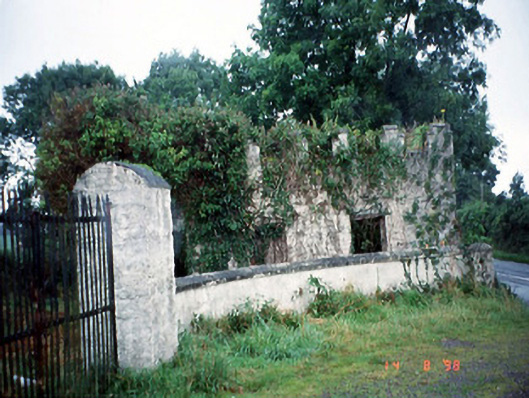 Grenagh Housegate lodge · 1033 yd
 Enclosure in Dromin (magunihy By., Lahard Ed)Enclosure · 1427 yd
 Pallis Castle (Site of)Castle, tower house · 1.0 mi
 CastleCastle, tower house · 1.3 mi
 European YewEuropean Yew · 1.6 mi
 Japanese pagoda treeJapanese pagoda tree · 1.6 mi
 Dunloe Ogham StonesHeritage attraction · 1.8 mi
 Aghadoe Early Medieval Ecclesiastical SiteHeritage attraction · 2.1 mi
 Rabbit or Brown IslandIslet · 2.5 mi
 Lamb IslandIsland · 2.9 mi