What is recorded here
Ardnageehy East holds a forty-four metre earthen ring on a north-facing slope, its thick bank guarding a wide eastern gap. The interior rises toward the northeast to balance the falling ground, while a hidden passage may still cut through the southern earth. People called it a fairy fort because ordinary sense abandoned them near such quiet shapes.
In pasture, on N-facing slope, commanding view NW to NE. Circular area (44m N-S; 44.2m E-W) defined by earthen bank (H 2.6m); incline into bank E->W, probably indicates fosse. Entrance (Wth 4.5m) to E; possible bank slippage inside bank NNW->NNE. Interior slopes gently to E; raised to NE to compensate for slope. Possible Man-made underground passage (CO053-073---) in S half of fort.
The above description is derived from the published 'Archaeological Inventory of County Cork. Volume 2: East and South Cork' (Dublin: Stationery Office, 1994). In certain instances the entries have been revised and updated in the light of recent research.
Date of upload/revision: 14 January 2009
A fairy fort / earthen ringfort in Ardnageehy East is a circular early-medieval defensive or domestic site, likely dating to between the 5th and 10th centuries AD. Local folklore often associates such forts with the supernatural, particularly with fairies or other otherworldly beings.
The monument record does not grant public access. Check the route and ask the landowner before entering private land.
- What survives
- Recorded monument
Places near here
 Man-made underground passage in Ardnageehy EastMan-made underground passage · 1 yd
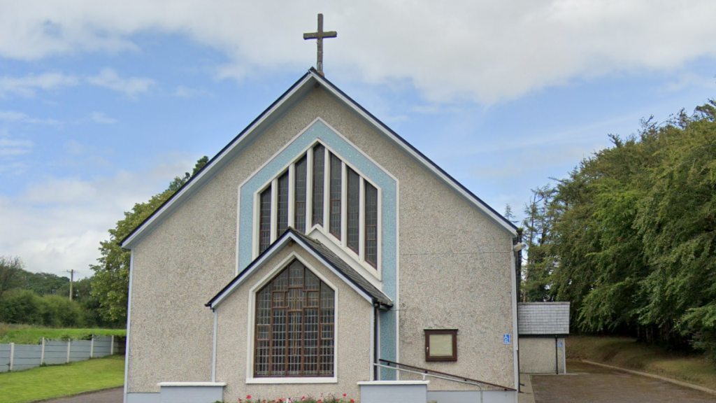 Church (in Ruins)Church · 309 yd
 Enclosure in Ballynaglogh EastEnclosure · 1.5 mi
 Trout Brook Bridgebridge · 1.5 mi
 Graveyard in Killuntin NorthGraveyard · 1.6 mi
 Graveyard in GlenvilleGraveyard · 2.2 mi
 Castle (Site of)Castle, unclassified · 2.5 mi
 Devonshire's HillMountain / peak · 4.3 mi
 Moanbaun ForestForest · 4.3 mi
 Castle (in Ruins)Castle, tower house · 4.5 mi
 Monananig WoodsWood · 4.7 mi
 Cork WalksVisitor information · 9.1 mi