What is recorded here
Drumnabreeze holds a possible rath or circular enclosure marked only by crop growth, preserving a shape that ploughing and rain have repeatedly erased. The uncertainty is not a flaw but a clue: the ground still behaves as if a boundary existed, even when no stone remains to prove it. A person may have stood inside that circle, watched the fields turn, and left no name behind. What is missing is not understanding but testimony, and the land continues giving it back in shades of green.
The official Northern Ireland record identifies this as AP Cropmark: Possible rath/circular enclosure. Recorded period: UNCERTAIN. The official map point was placed at the centre of the recorded archaeological site from the source map reference.
The monument record does not grant public access. Check the route and ask the landowner before entering private land.
- What survives
- Recorded monument
Places near here
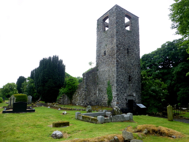 MEDIEVAL PARISH CHURCH (site of) & C17TH CHURCH & GRAVEYARD: LAN in MagheralinMEDIEVAL PARISH CHURCH (site of) & C17TH CHURCH & GRAVEYARD: LAN · 1.0 mi
 ENCLOSUREENCLOSURE, tree ring · 1.1 mi
 St. Patrick's RC ChurchChurch · 1.1 mi
.jpg?width=1280) Newmill BridgeBridge · 1.8 mi
Newmill BridgeBridge · 1.8 mi CASTLE (site of): MOIRA CASTLE in RiskCASTLE (site of): MOIRA CASTLE · 1.9 mi
 WELL & ?CASTLE in InisloughlinWELL & ?CASTLE · 2.6 mi
 Waringstown Red WoodsForest · 2.9 mi
 CHURCH, ROUND TOWER, GRAVEYARD & CROSS-CARVED STONE: RATHMESK, TRUMMERY ROUND TOWER in TrummeryCHURCH, ROUND TOWER, GRAVEYARD & CROSS-CARVED STONE: RATHMESK, TRUMMERY ROUND TOWER · 3.2 mi
 Brownlow HouseMuseum · 3.6 mi
 Dromore ViaductHeritage attraction · 4.4 mi
 War MemorialMemorial · 4.7 mi
 Ellis GutBay · 4.8 mi