What is recorded here
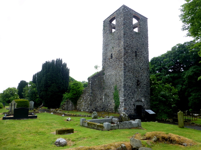
Magheralin holds a medieval parish church site and a seventeenth-century church with a graveyard, proving continuous worship at one place. The older building vanished, but the grounds preserved the parish identity through later stone and buried bodies. People still walk beside graves laid down centuries ago, linking present life to medieval faith and seventeenth-century change.
The official Northern Ireland record identifies this as MEDIEVAL PARISH CHURCH (site of) & C17TH CHURCH & GRAVEYARD: LAN. Recorded period: UNCERTAIN; MEDIEVAL; POST-MED. Recorded protection: Listed. The official map point was placed at the centre of the recorded archaeological site from the source map reference.
Medieval parish church site with a 17th-century church and graveyard; dates from the medieval period through to the post-medieval era. Its significance lies in its long ecclesiastical use and as a protected historical site reflecting religious and community history in the region.
The monument record does not grant public access. Check the route and ask the landowner before entering private land.
- What survives
- Recorded monument
Places near here
 St. Patrick's RC ChurchChurch · 119 yd
 Cropmark enclosures/ field system surrounding DOW013:015 in BallymakeonanCropmark enclosures/ field system surrounding DOW013:015 · 1519 yd
 ENCLOSUREENCLOSURE, tree ring · 1.1 mi
 CASTLE (site of): MOIRA CASTLE in RiskCASTLE (site of): MOIRA CASTLE · 1.8 mi
_-_geograph.org.uk_-_5181977.jpg?width=1280) Berwick HallHouse · 2.2 mi
Berwick HallHouse · 2.2 mi Brownlow HouseMuseum · 2.7 mi
 Waringstown Red WoodsForest · 2.8 mi
 WELL & ?CASTLE in InisloughlinWELL & ?CASTLE · 3.0 mi
 CHURCH, ROUND TOWER, GRAVEYARD & CROSS-CARVED STONE: RATHMESK, TRUMMERY ROUND TOWER in TrummeryCHURCH, ROUND TOWER, GRAVEYARD & CROSS-CARVED STONE: RATHMESK, TRUMMERY ROUND TOWER · 3.4 mi
 Ellis GutBay · 3.8 mi
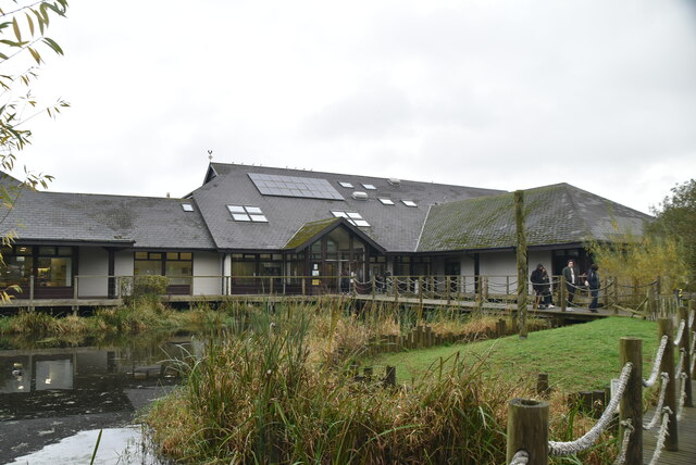 Lough Neagh Discovery CentreHeritage attraction · 5.3 mi
 War MemorialMemorial · 5.8 mi
Other information
Photo: Kenneth Allen · CC BY-SA 2.0