
What is recorded here
The official Northern Ireland record identifies this as a Grade B listed building. Current recorded use: Church.
The official record and map point do not grant access. Many historic buildings are privately owned; view them only from public ground unless the owner allows entry.
Places near here
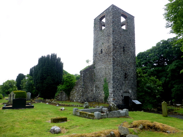 MEDIEVAL PARISH CHURCH (site of) & C17TH CHURCH & GRAVEYARD: LAN in MagheralinMEDIEVAL PARISH CHURCH (site of) & C17TH CHURCH & GRAVEYARD: LAN · 119 yd
 Cropmark enclosures/ field system surrounding DOW013:015 in BallymakeonanCropmark enclosures/ field system surrounding DOW013:015 · 1580 yd
 CASTLE (site of): MOIRA CASTLE in RiskCASTLE (site of): MOIRA CASTLE · 1.8 mi
_-_geograph.org.uk_-_5181977.jpg?width=1280) Berwick HallHouse · 2.2 mi
Berwick HallHouse · 2.2 mi.jpg?width=1280) Newmill BridgeBridge · 2.3 mi
Newmill BridgeBridge · 2.3 mi Brownlow HouseMuseum · 2.7 mi
 Waringstown Red WoodsForest · 2.7 mi
 WELL & ?CASTLE in InisloughlinWELL & ?CASTLE · 3.0 mi
 CHURCH, ROUND TOWER, GRAVEYARD & CROSS-CARVED STONE: RATHMESK, TRUMMERY ROUND TOWER in TrummeryCHURCH, ROUND TOWER, GRAVEYARD & CROSS-CARVED STONE: RATHMESK, TRUMMERY ROUND TOWER · 3.4 mi
 Ellis GutBay · 3.7 mi
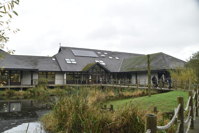 Lough Neagh Discovery CentreHeritage attraction · 5.2 mi
 War MemorialMemorial · 5.8 mi
Other information
Photo: Kenneth Allen · CC BY-SA 2.0